M-46 Bridge to Vassar
Beginner-Intermediate
6.3 Miles, 2 to 3 Hours
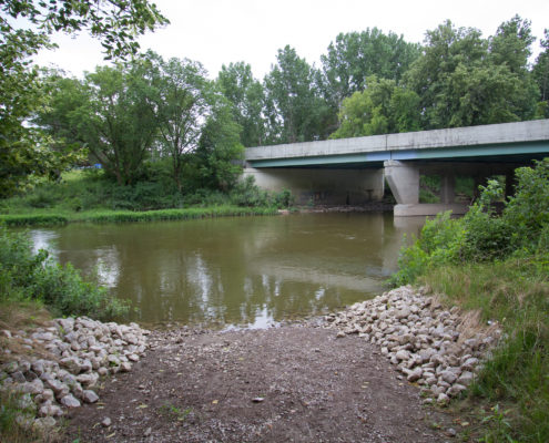
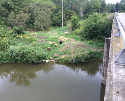
Start: M-46 Bridge
Finish: Downtown Vassar
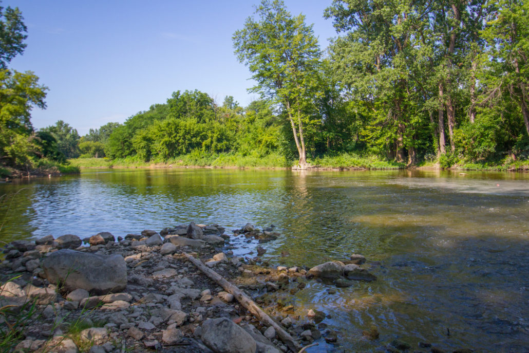
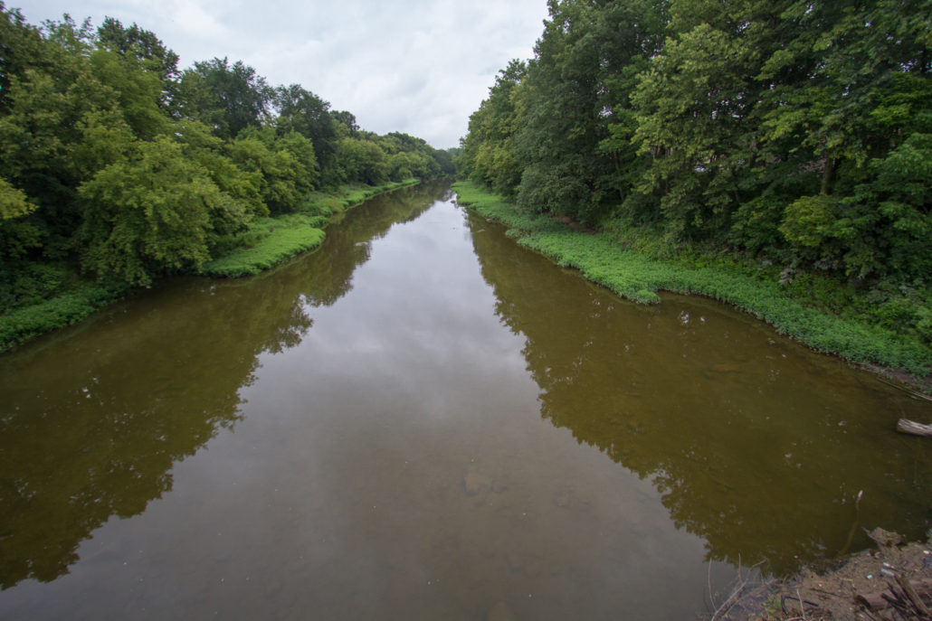
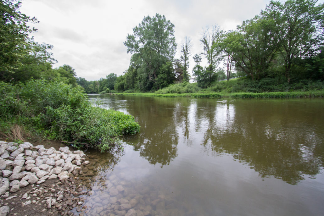
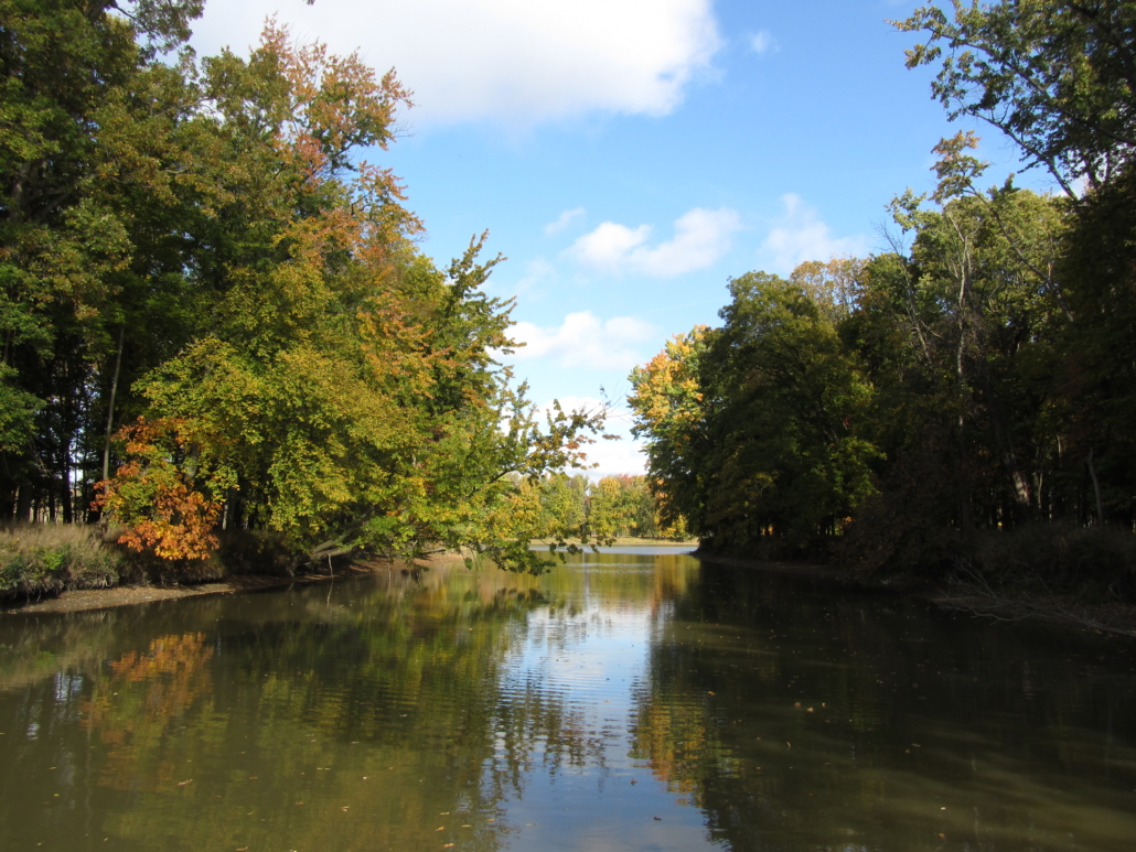
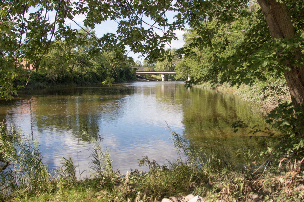
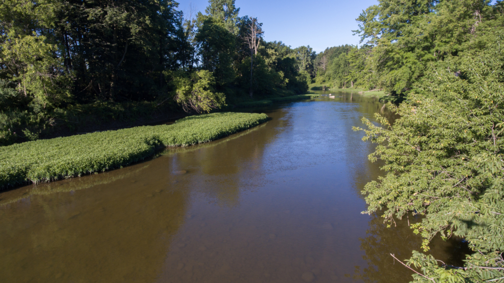
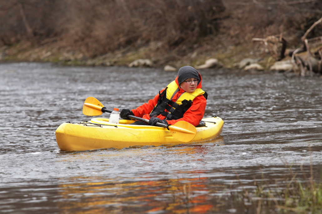
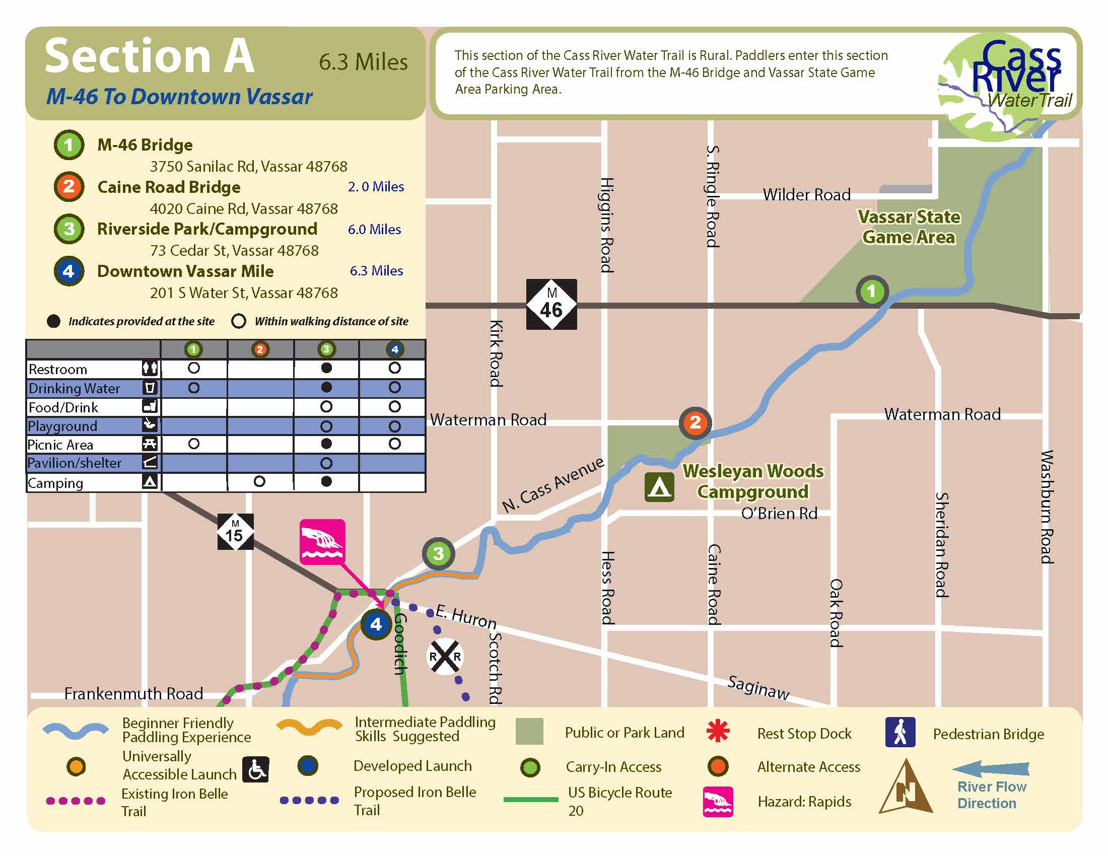
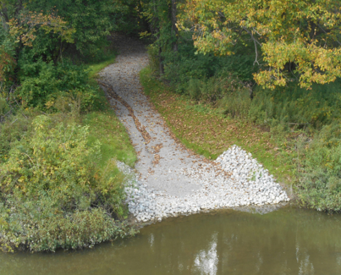
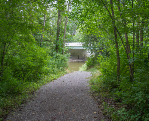
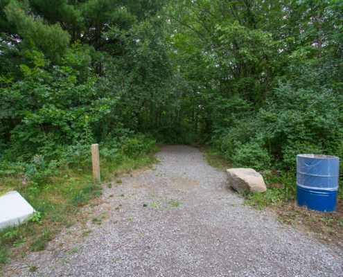
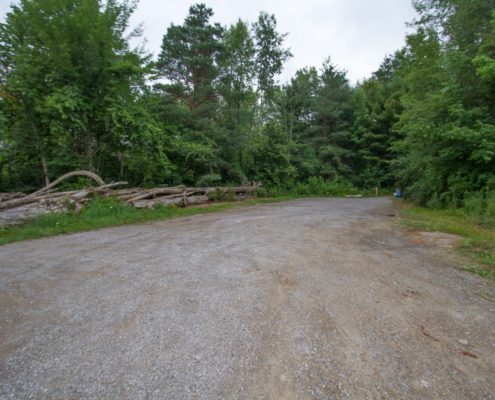
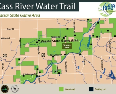
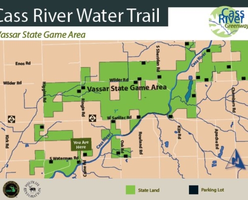
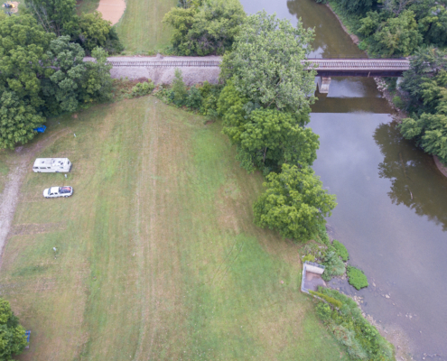
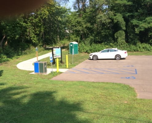
This is a very natural, picturesque paddle that begins on Vassar State Game property and intermittently runs through long stretches of State Game property. The Caine Road access site is 2 miles downstream of M-46 and Downtown Vassar is about 6.3 miles.
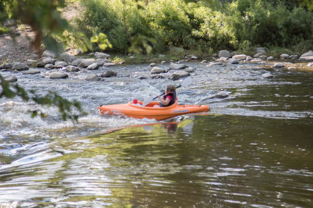
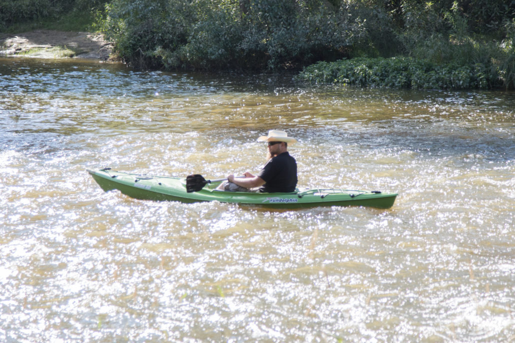
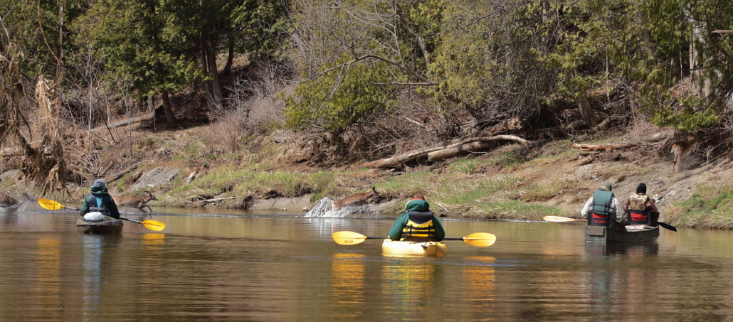
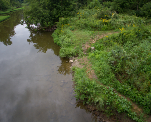
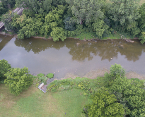
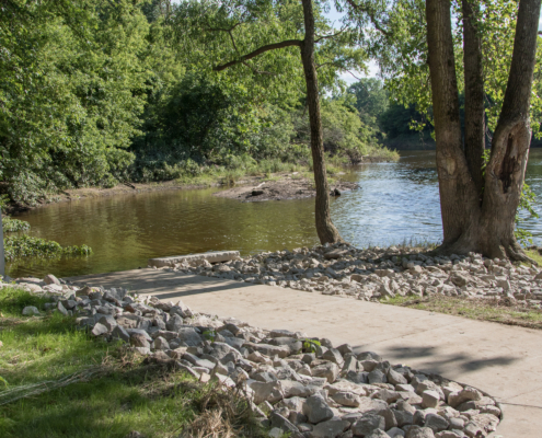
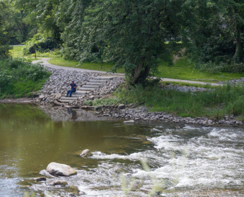
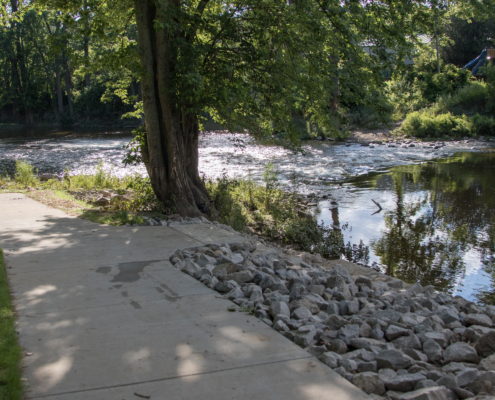
This is a scenic experience with heavily wooded riverbanks and rocky sections of river with multiple small rapids and riffles. There are 3 sections of river in this segment that under low water conditions may require exiting the watercraft and walking it downstream to floatable water. Possible wildlife sightings include deer, eagles, blue heron, kingfishers and owls.
Caution is advised as one nears the Huron Avenue (M-15) Bridge in downtown Vassar. A small drop-off may generate a rapids condition under and just downstream of the bridge. Also, most paddlers are advised to take the portage at/around the Downtown Vassar Launch due to rapids conditions at the site of the old, removed Vassar dam.
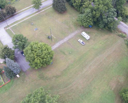
Wesleyan Woods Campground is located northeast of Vassar, at 4320 Caine Rd., 2.6 miles downstream of M-46. Wesleyan Woods offers both modern (RV) and rustic (tent) camp sites, cabins, restrooms, showers, a camp store, and canoe & kayak trips on the river. Canoe trips usually start just west of Caro and end at the campground. Visit wesleyanwoods.org or call 989-823-8840 for more information.
How to Use This Map: Click the tab in the top left hand corner of the map to view the layers. You can click the check marks to hide or show layers. If you click the icons on the map, you can get more information about each point of interest. If you click the star after the title of the map, this map will be added to your Google Maps account. To view it on your phone or computer, open Google Maps, click the menu button, go to “Your Places,” click Maps, and you will see this map on your list.
Terrain 360 River View: Click on the small blue dots on the map, then select the hyperlink to be taken to a 360-degree view of the river.

