Vassar to Tuscola
Beginner
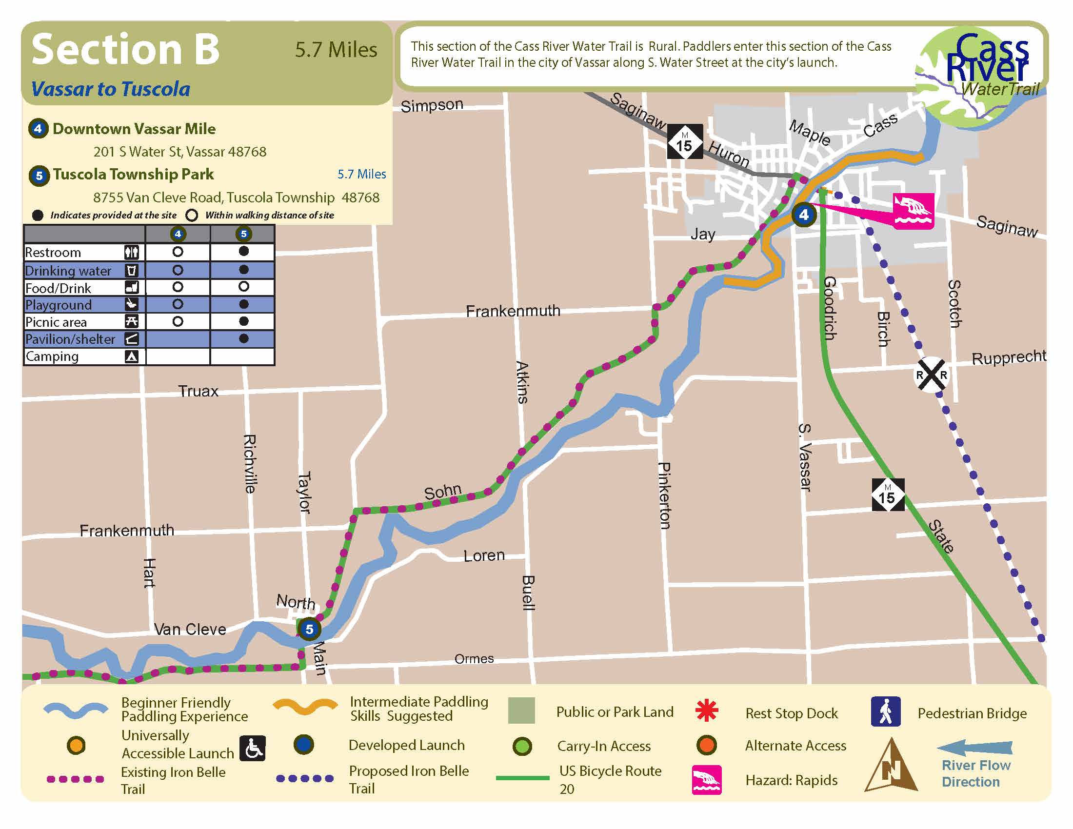
5.7 Miles, 2 to 3 Hours
Start: Downtown Vassar
Finish: Tuscola Township Park
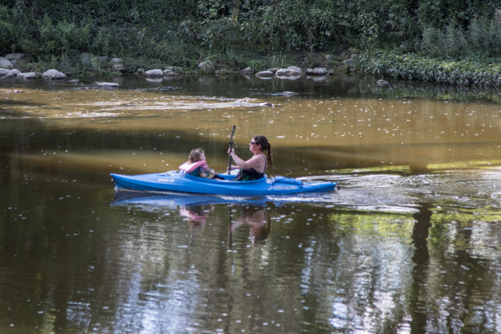
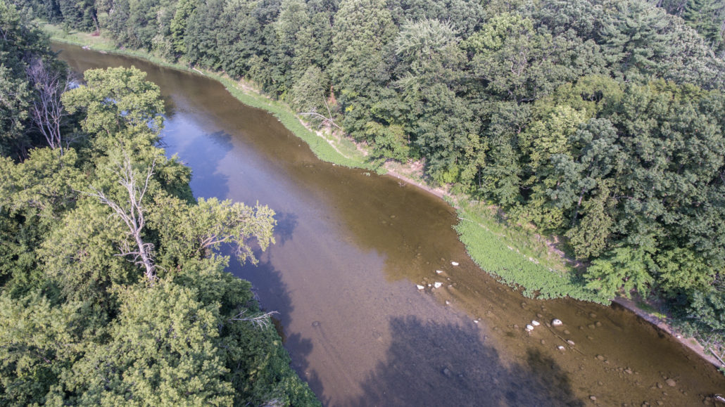
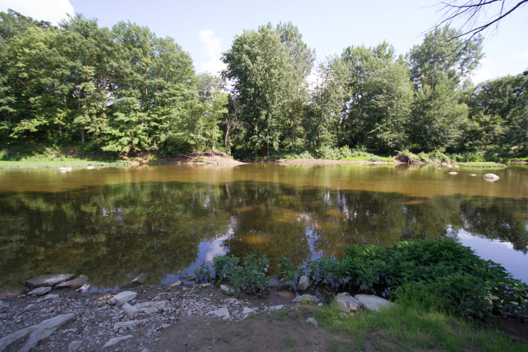
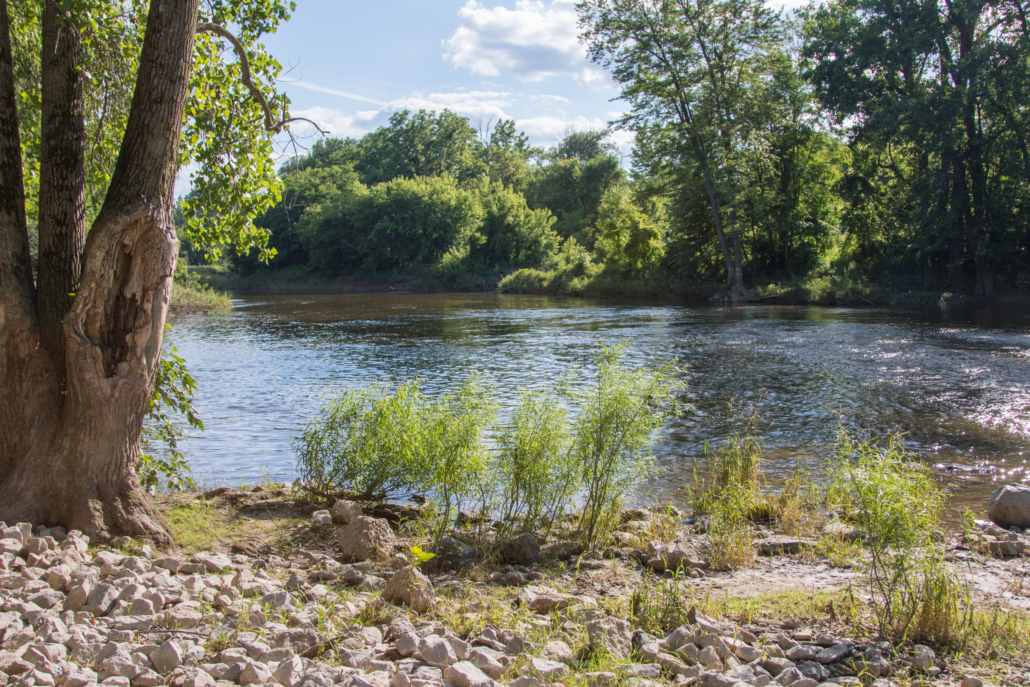
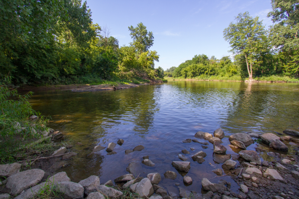
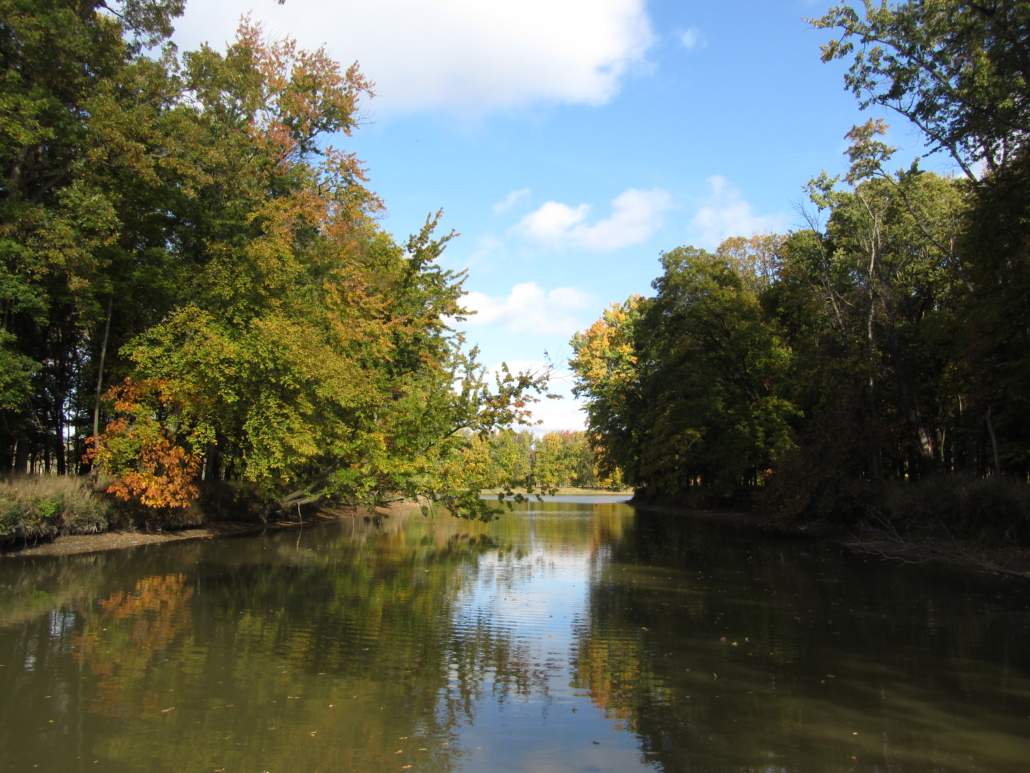
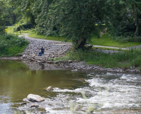
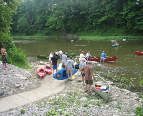
This is a picturesque stretch of river, with several riffles and large rocks to navigate. There is the occasional view of private homes and agricultural fields along the banks, but this stretch is mostly wooded, and wildlife sightings are more common than one would expect. The current is moderate and begins to slow somewhat as you get closer to Tuscola.
How to Use This Map: Click the tab in the top left hand corner of the map to view the layers. You can click the check marks to hide or show layers. If you click the icons on the map, you can get more information about each point of interest. If you click the star after the title of the map, this map will be added to your Google Maps account. To view it on your phone or computer, open Google Maps, click the menu button, go to “Your Places,” click Maps, and you will see this map on your list.
Terrain 360 River View: Click on the small blue dots on the map, then select the hyperlink to be taken to a 360-degree view of the river.

