Frankenmuth to Hoffmann Park
Beginner
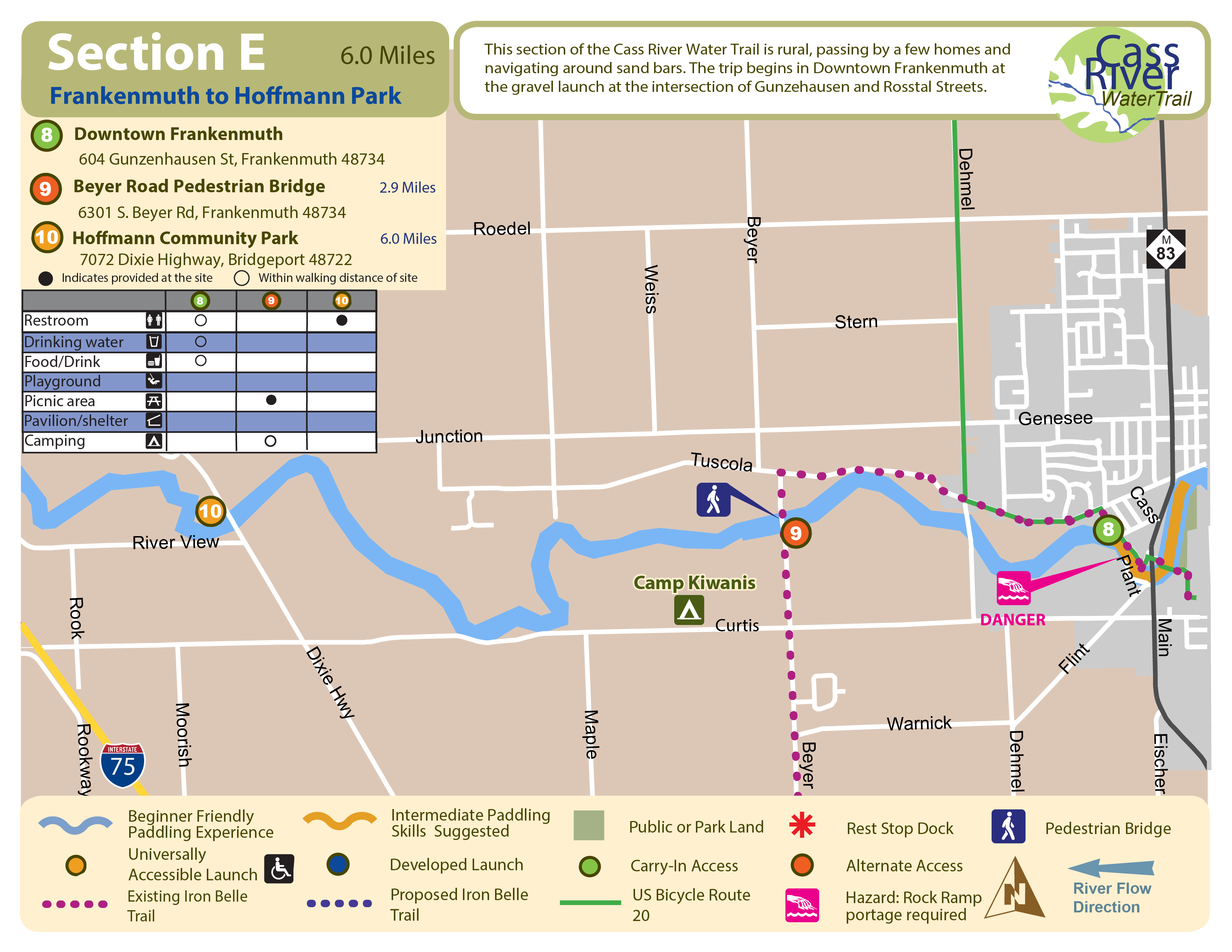
6 Miles, 2-3 Hours
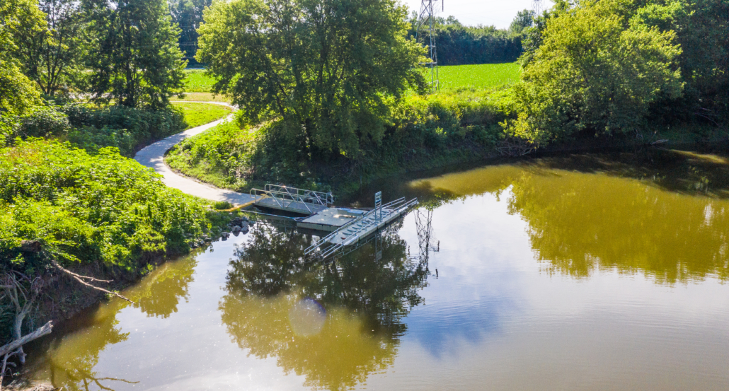
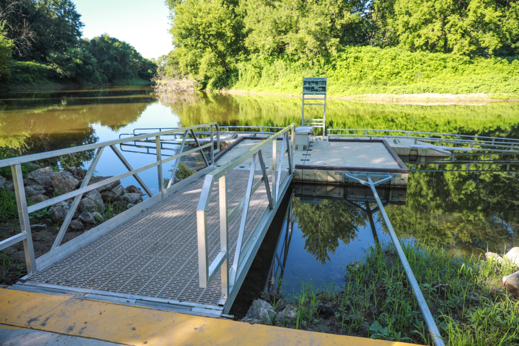
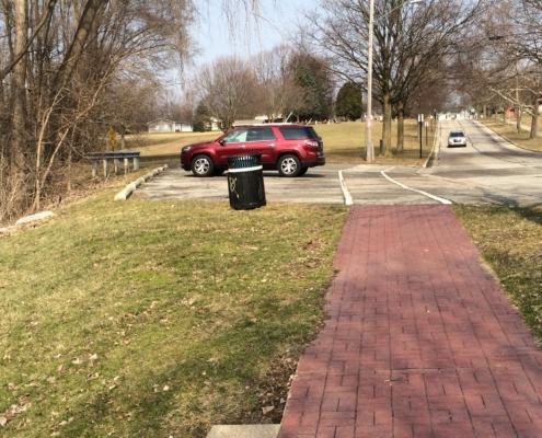
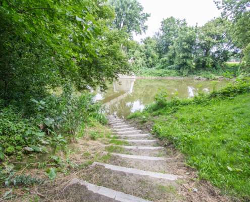
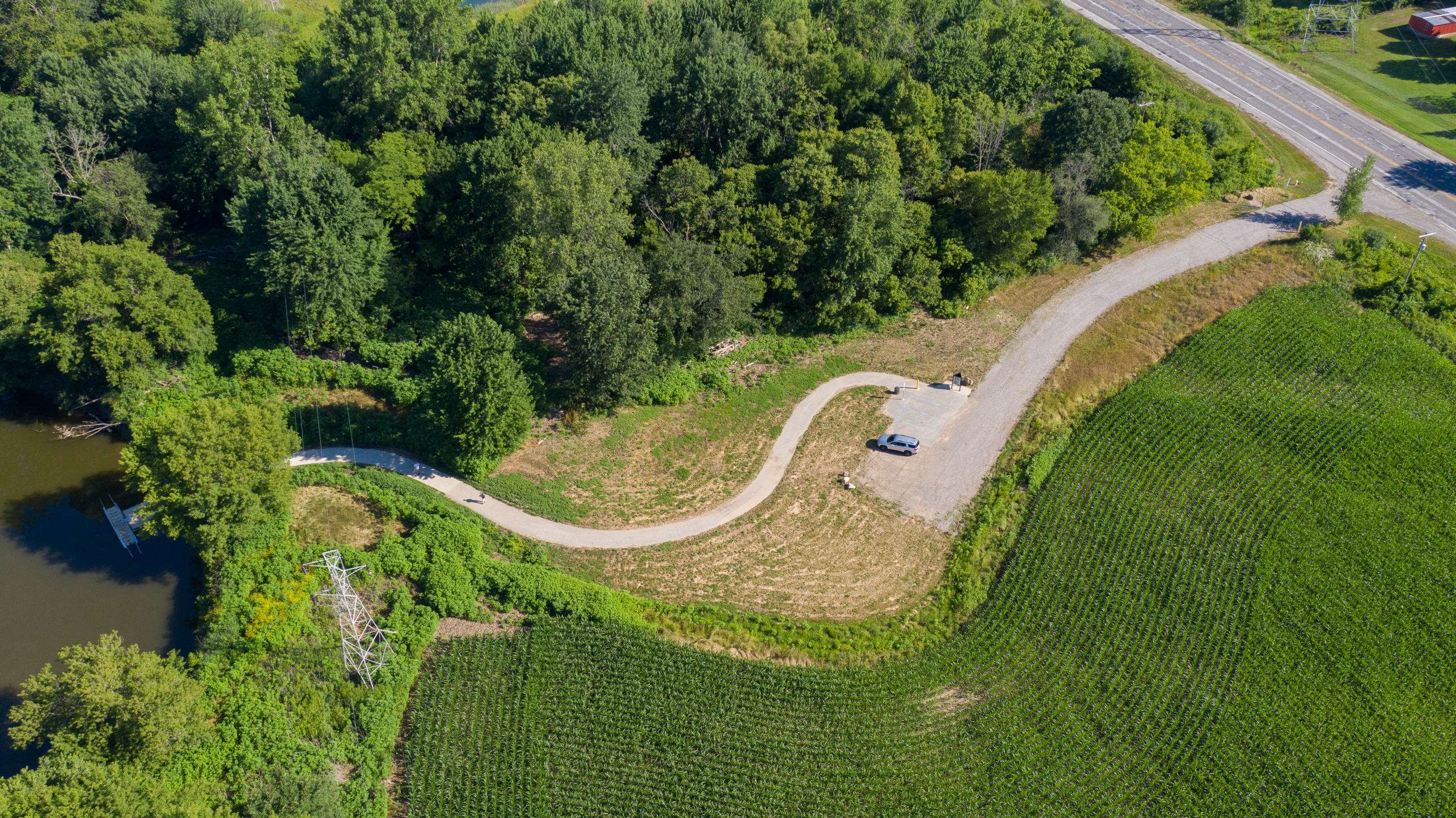
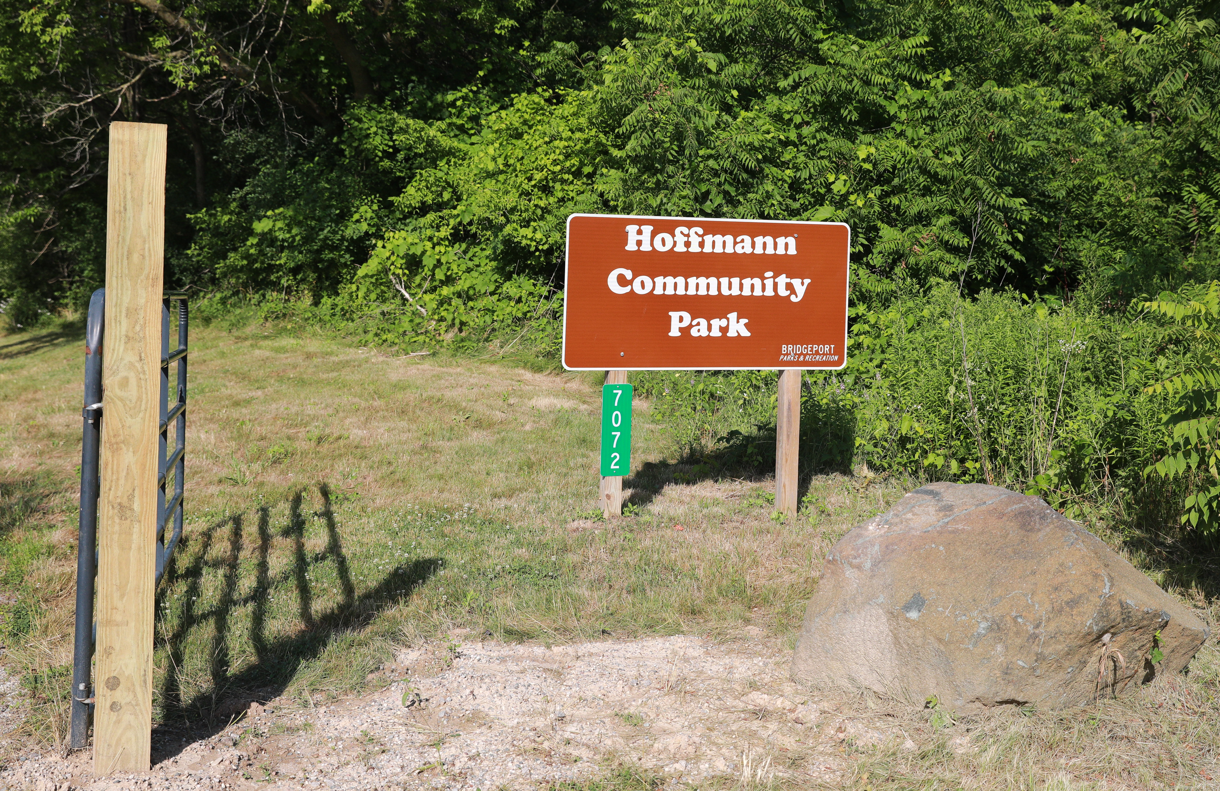
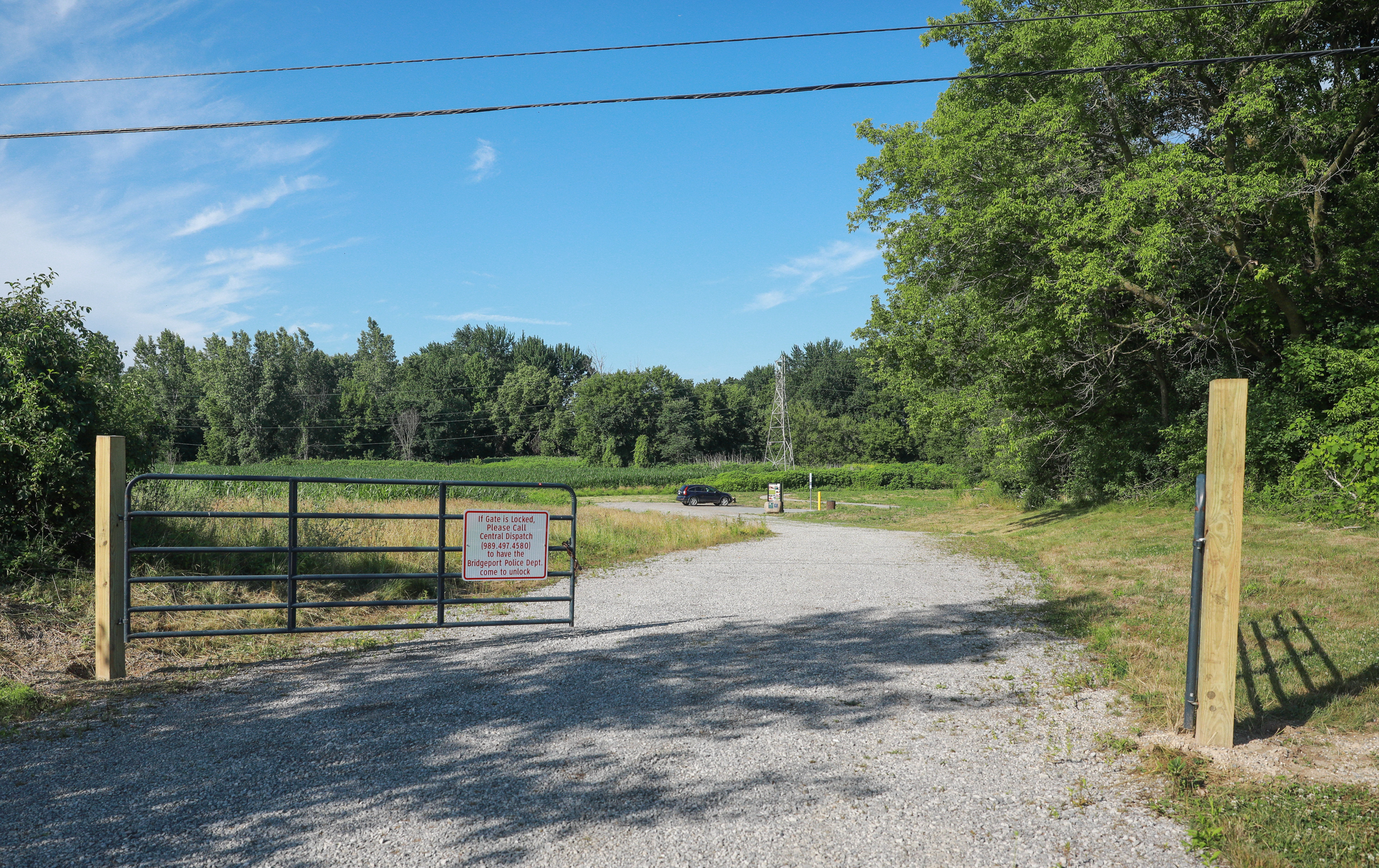
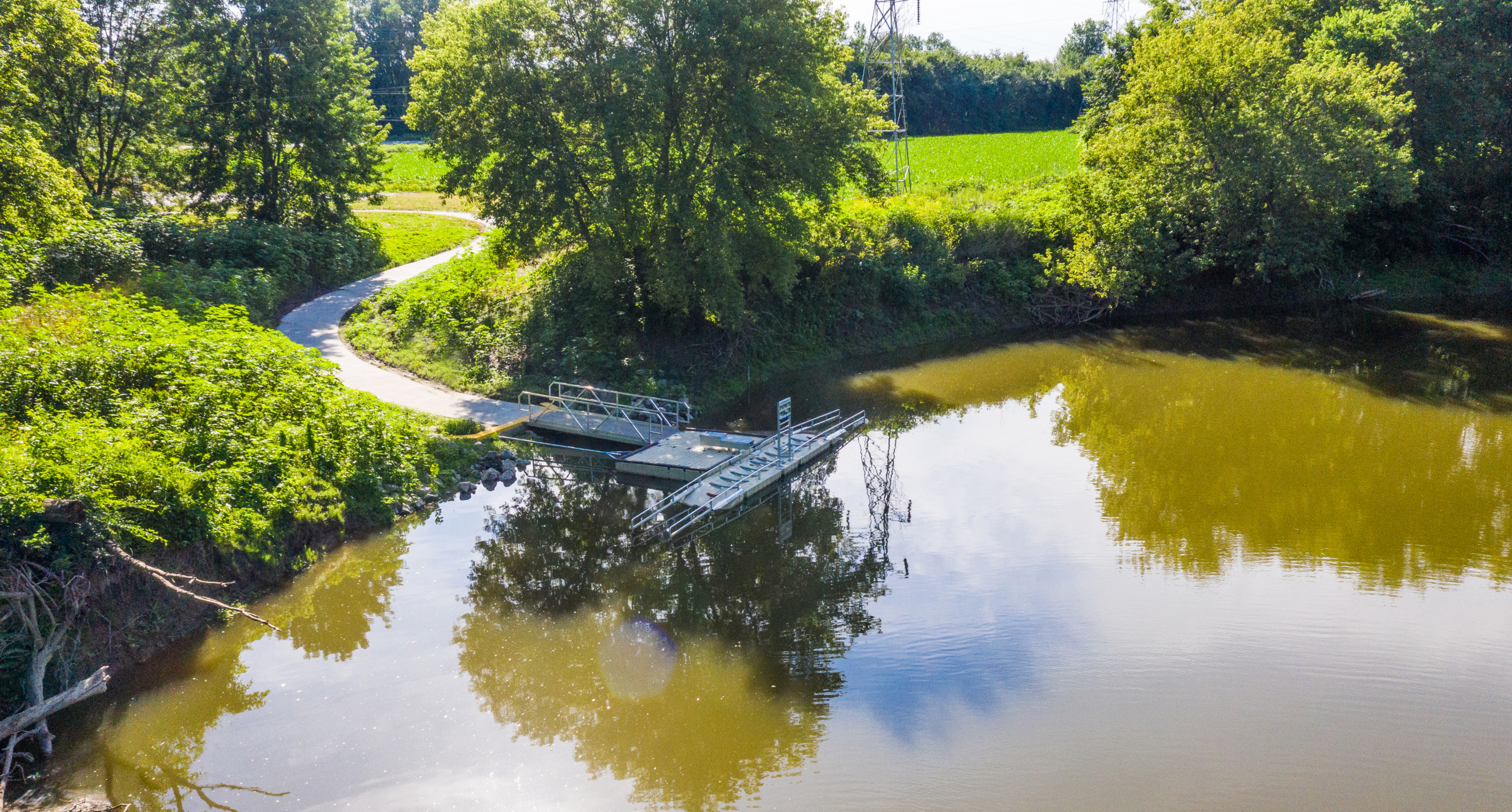
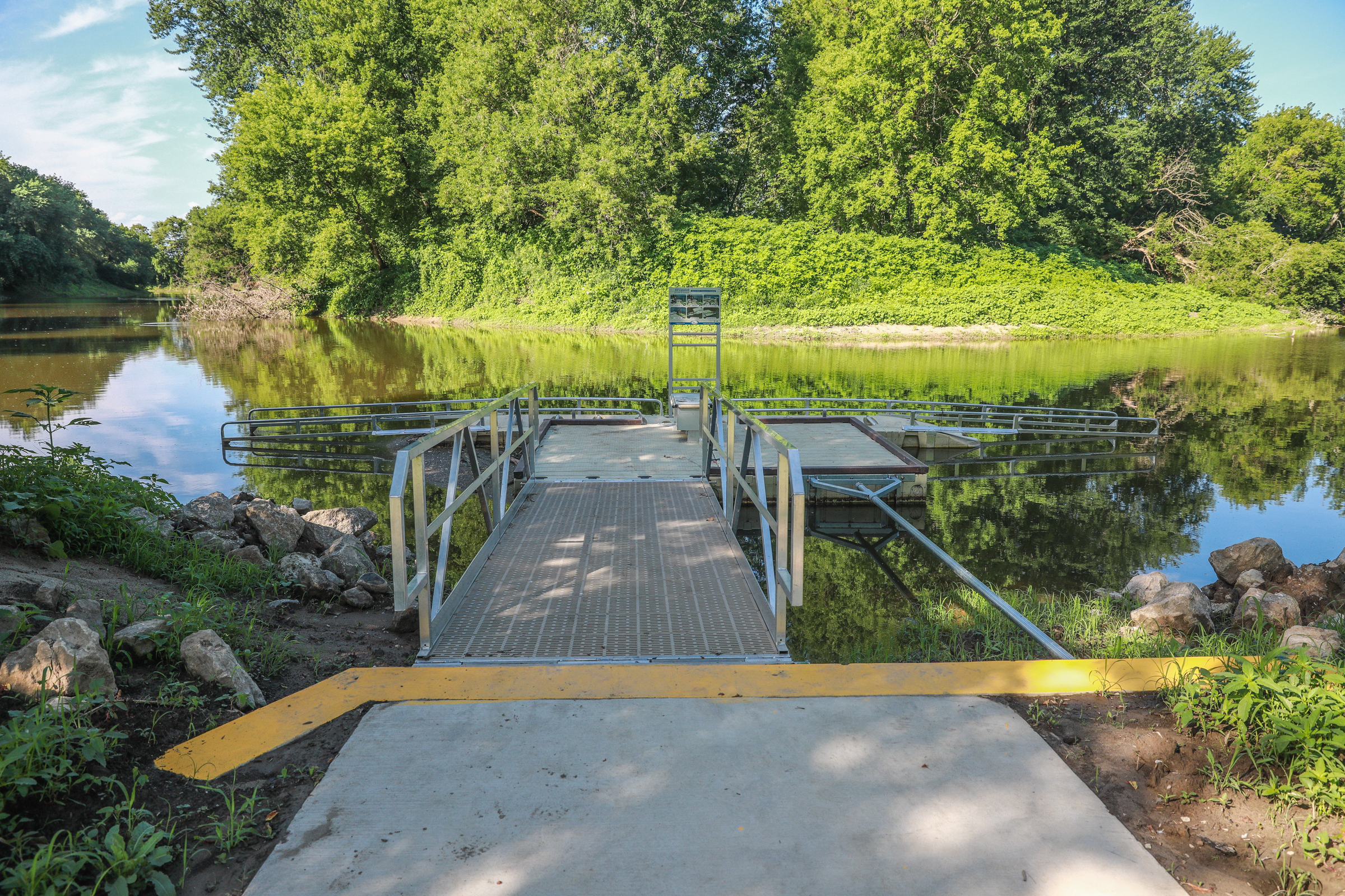
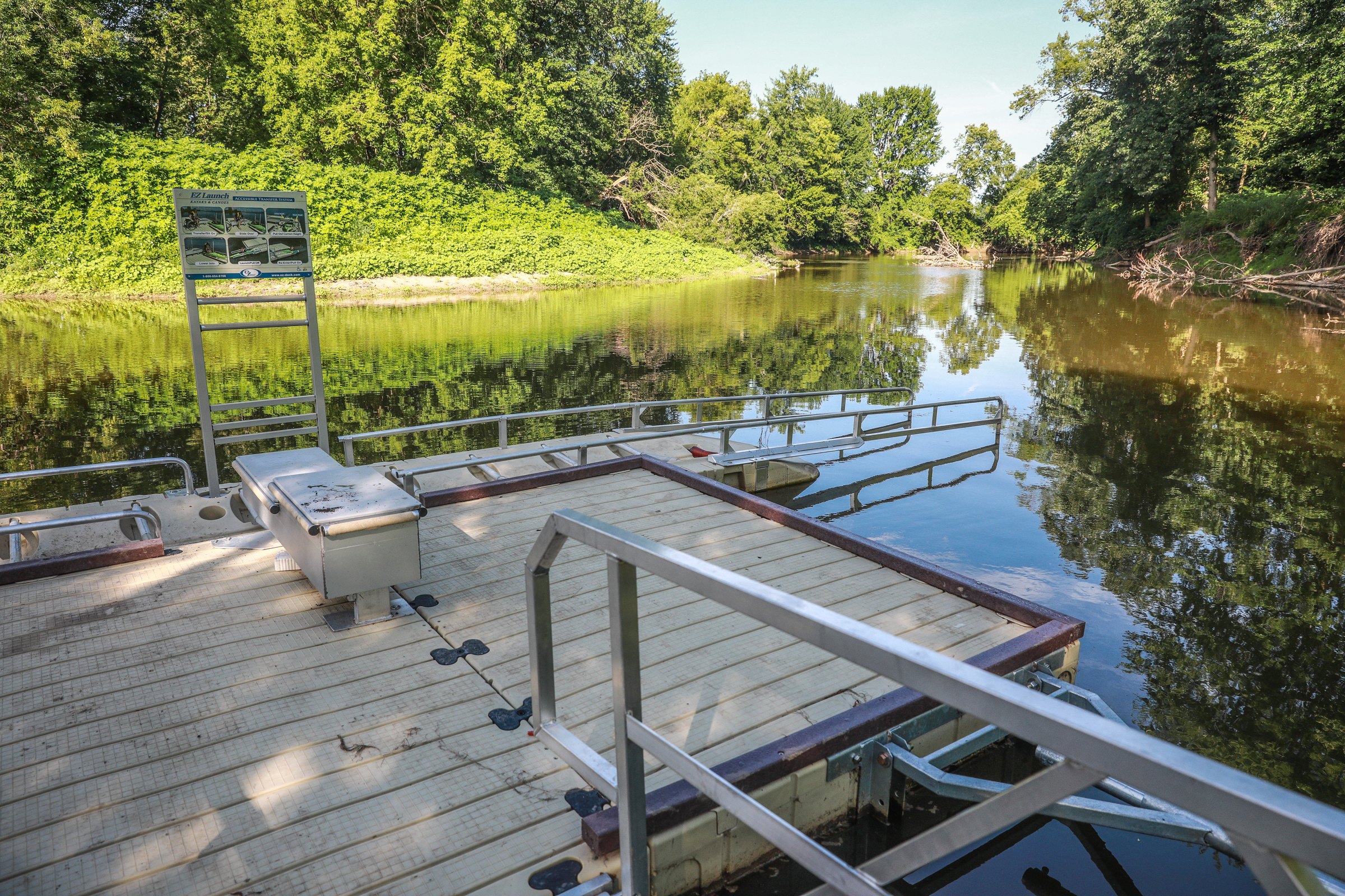
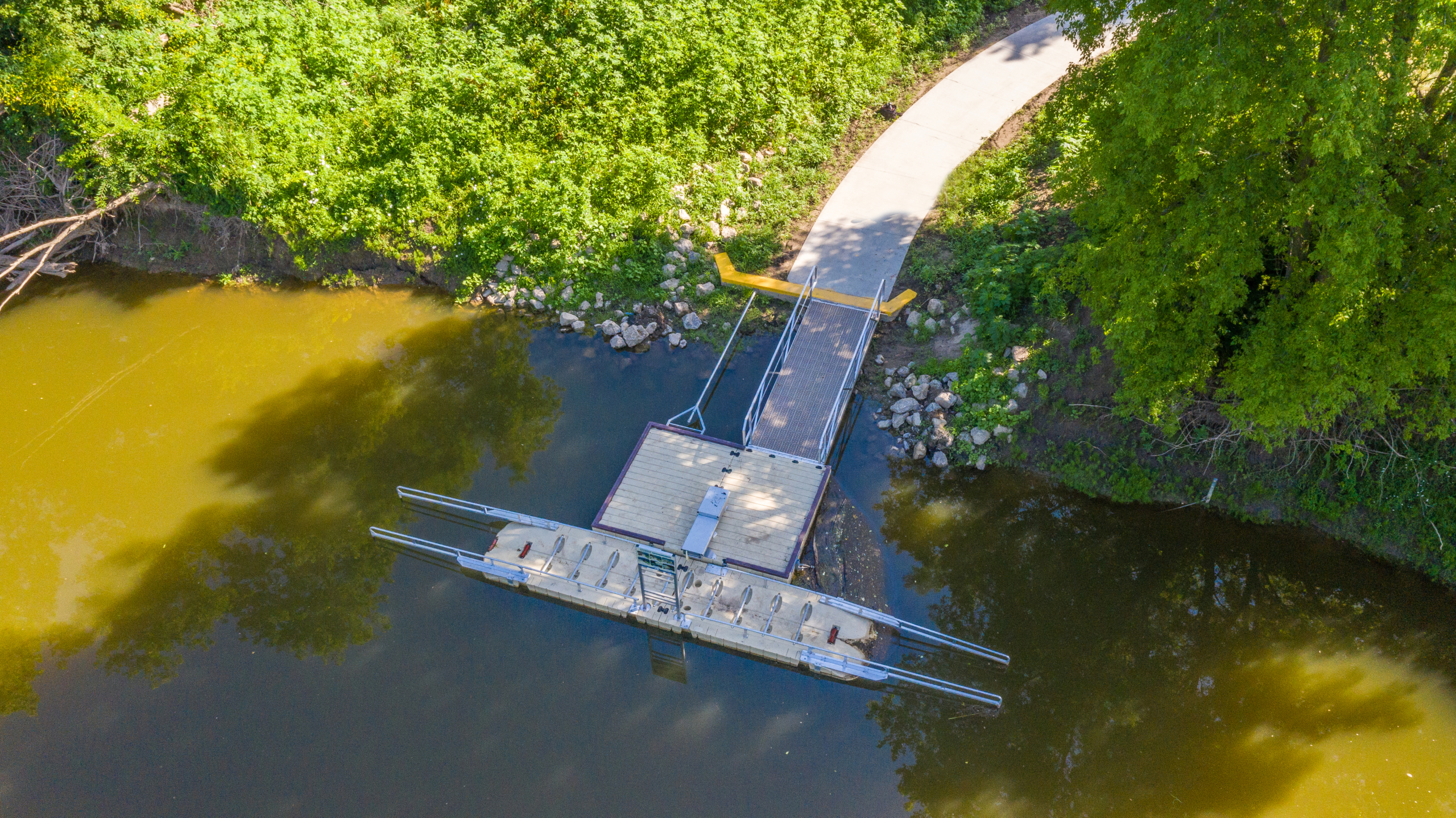
Universally Accessible Launch: Hoffmann Community Park
Start: Downtown Frankenmuth
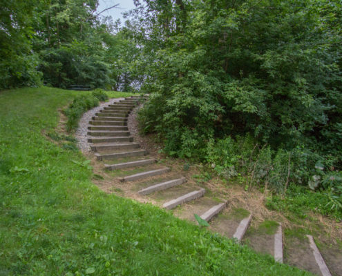
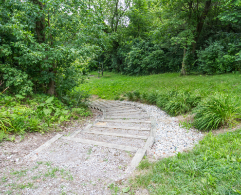
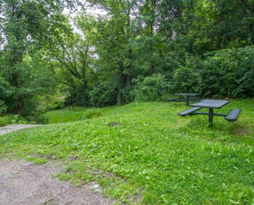
Finish: Hoffmann Community Park, Bridgeport Township
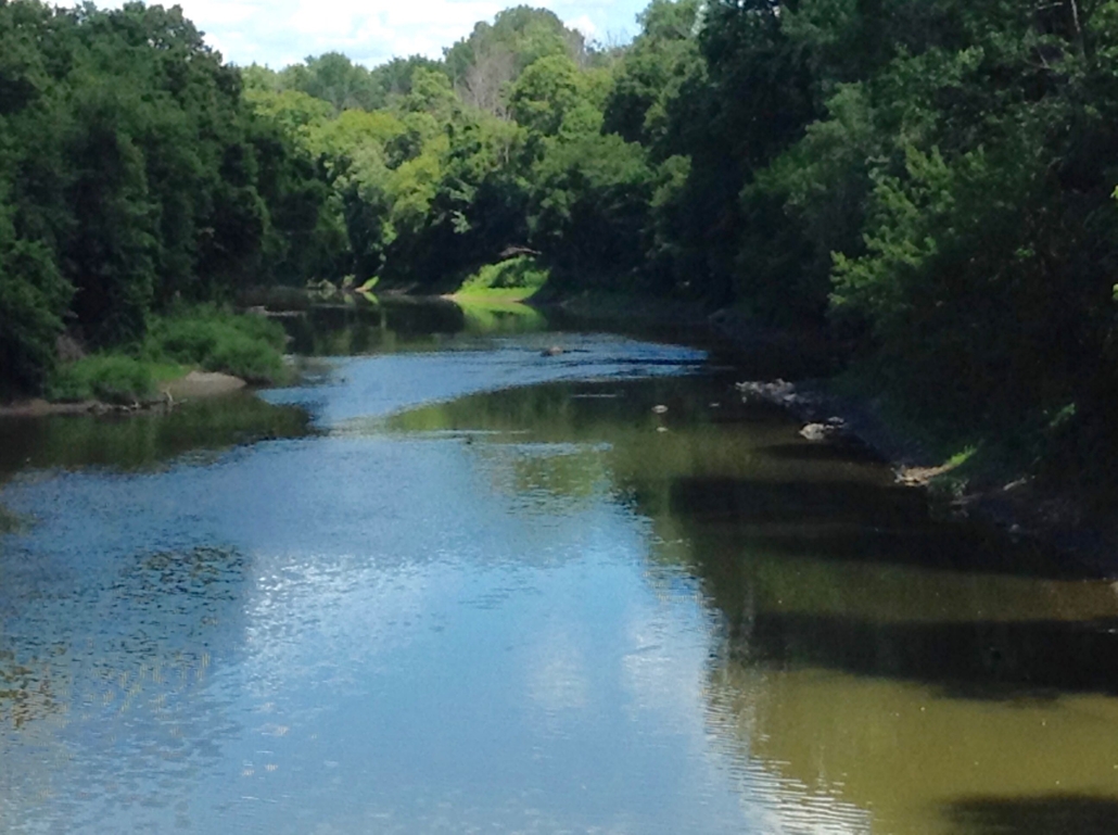
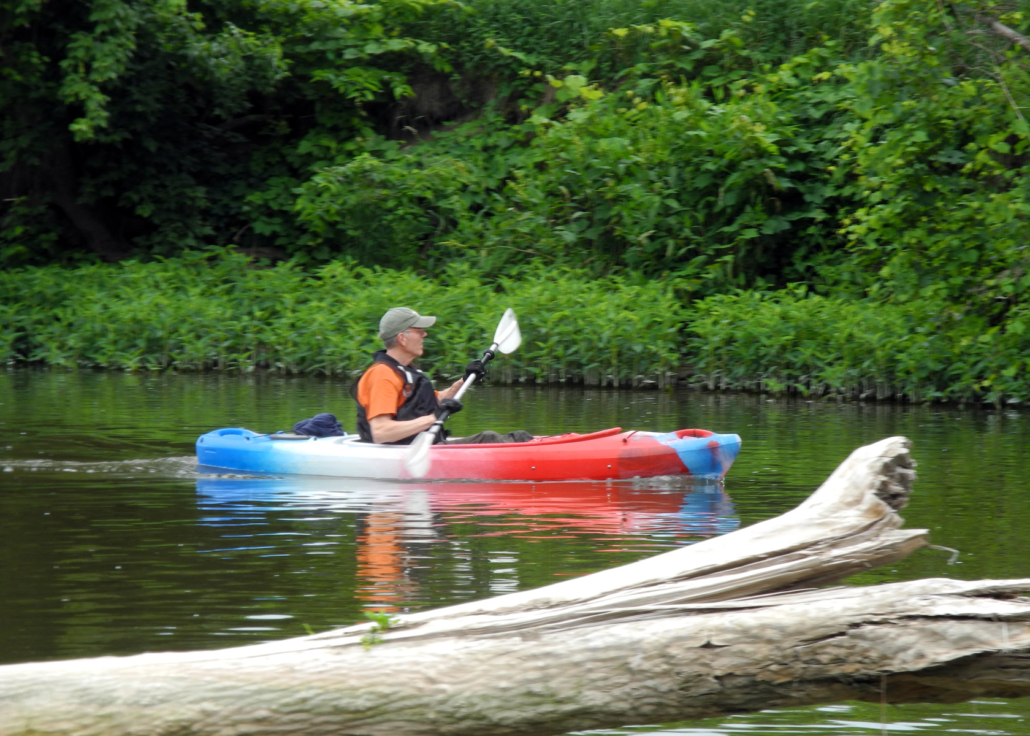
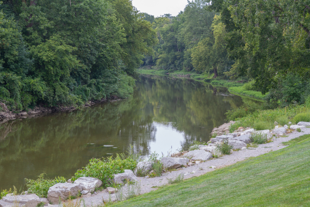
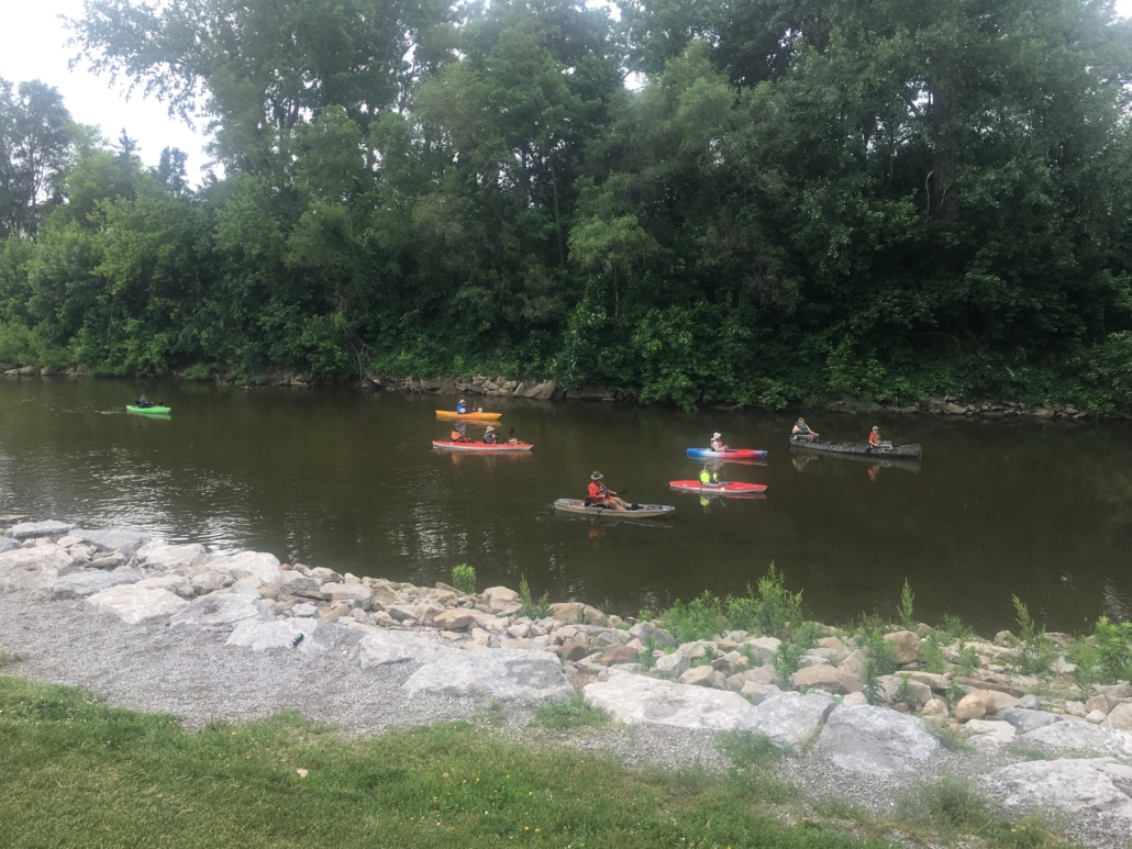
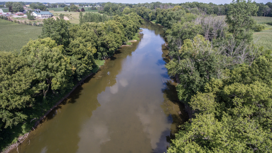
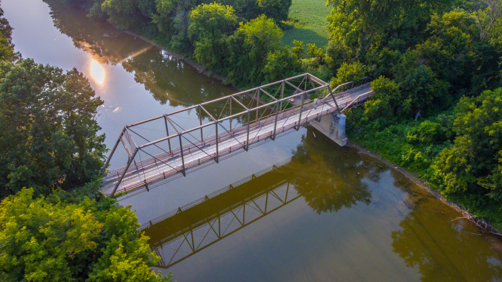
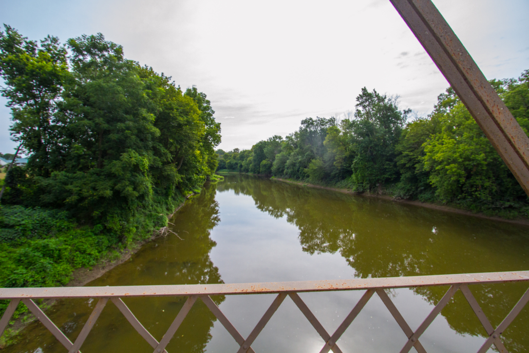
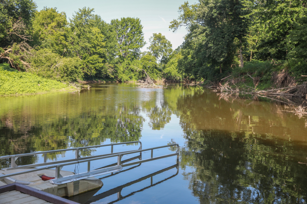
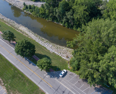
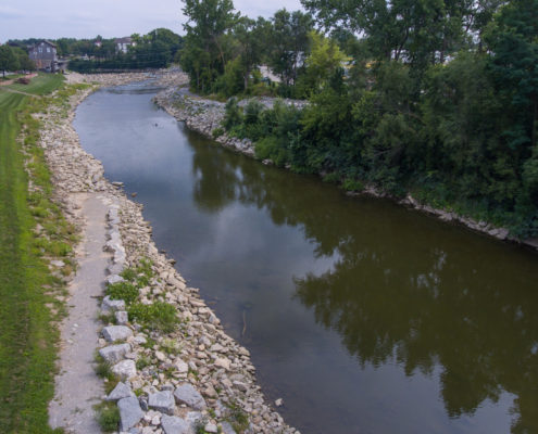
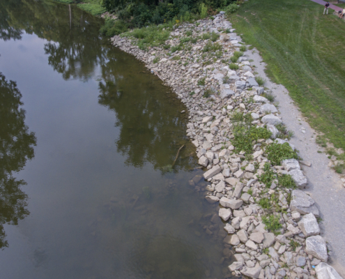
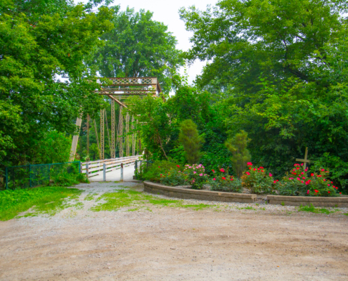
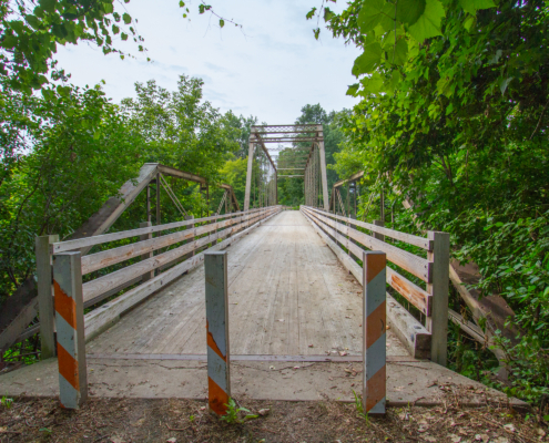
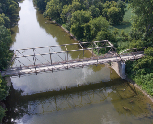
This is a quiet segment of the Cass River water trail. Some stretches are slightly narrower and shallower than the previous sections. Dodging fallen trees, debris, and sand bars is more common on this stretch of river. However, portaging is not normally required. Beyer Road Bridge Launch is located 2 miles downstream of Frankenmuth and Hoffman Community Park, located just downstream of the Dixie Highway Bridge, is approximately 6 miles downstream of Frankenmuth. The area is primarily rural with some homes seen from the river, but there are also long stretches that have a nice riparian forest corridor. The river current is normally slow to moderate.
Camp Kiwanis is approximately ½ mile downstream of Beyer Road at 8655 Curtis Rd. It is a historic, rustic, and unique camping facility (primarily rustic lodges) on the Cass River. The Camp provides year-round camping opportunities to youth groups. Visit saginawkiwanisclub.org for more information.
How to Use This Map: Click the tab in the top left hand corner of the map to view the layers. You can click the check marks to hide or show layers. If you click the icons on the map, you can get more information about each point of interest. If you click the star after the title of the map, this map will be added to your Google Maps account. To view it on your phone or computer, open Google Maps, click the menu button, go to “Your Places,” click Maps, and you will see this map on your list.
Terrain 360 River View: Click on the small blue dots on the map, then select the hyperlink to be taken to a 360-degree view of the river.

