Cass River Water TrailLocal Weather Alerts
There are currently no active weather alerts.
Cass River Water Trail
  • Home
  • Plan A Trip
    • Suggested Trips
    • Trail Towns
    • Rentals & Tours
    • Camping
    • Safety
    • Canoe & Kayak Access Sites
  • Explore
    • Maps
    • Fishing
    • History
    • Photos
  • River Conditions
    • Water Levels
    • Live Cam
    • Weather
    • Hazards
  • Get Involved
    • About
    • Events
    • Contact
  • Resources
    • Cass River Greenway
    • Links
    • Documents
  • Search
  • Menu Menu
PreviousNext
_DSC0240 Flowers on Point_1 Zachary Branigan
_DSC8738 Canoe on Cass Zachary Branigan
Turtle Gang Bavarian Belle Photo Credit: Bavarian Belle

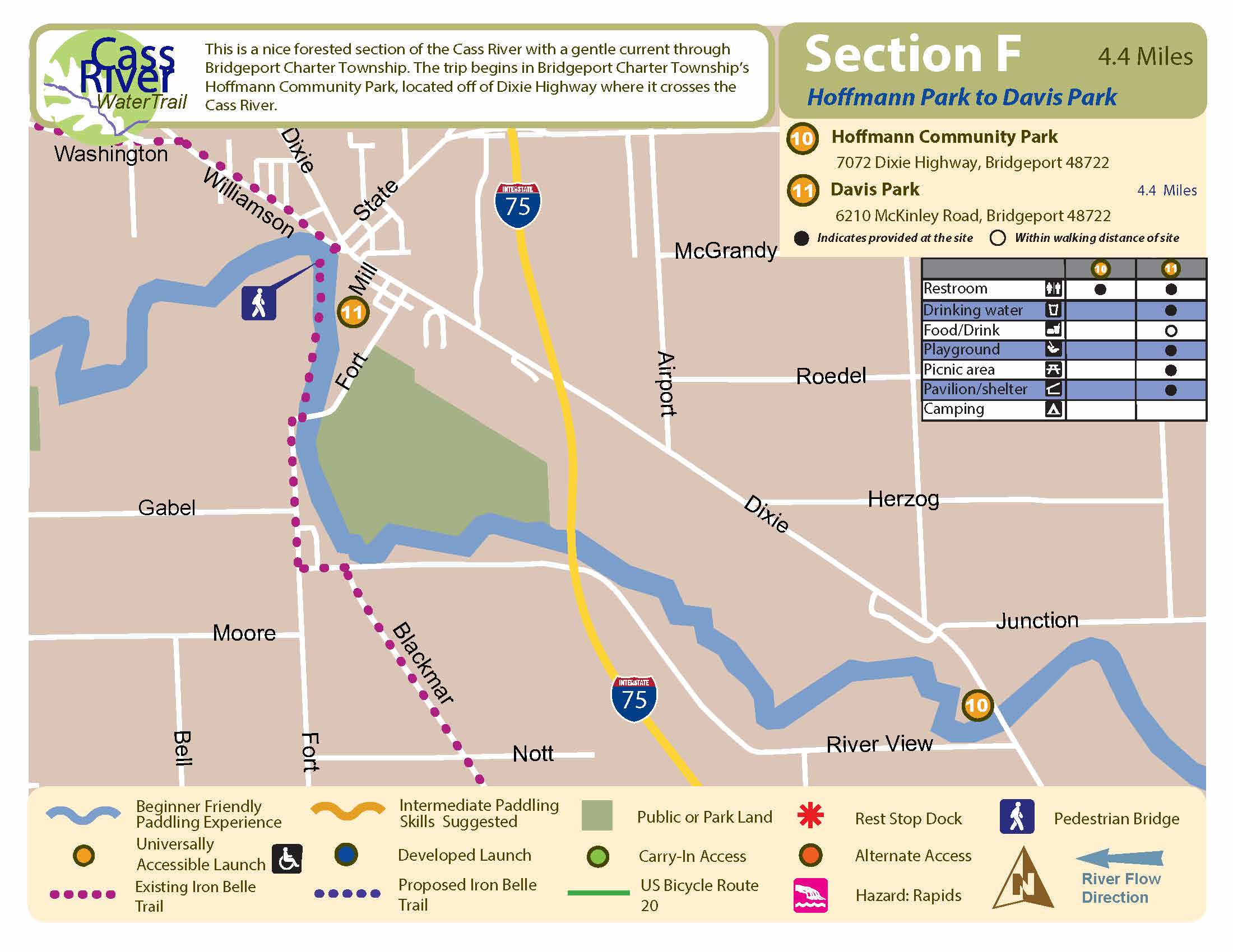
Hoffmann Park to Davis Park

Beginner

4.4 Miles, 2 Hours

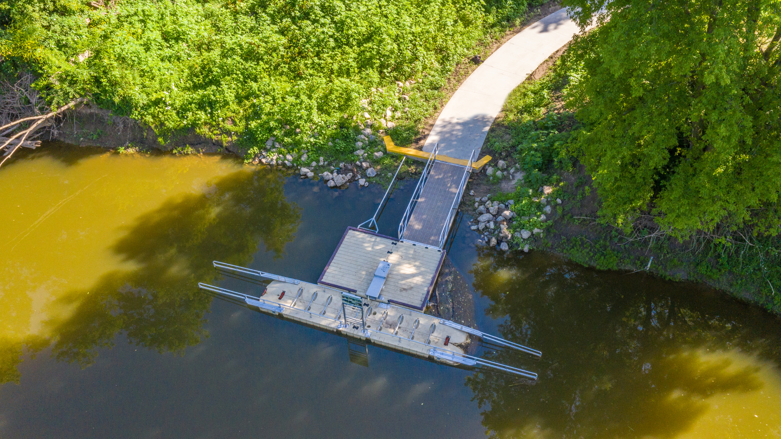
Universally Accessible Launch: Hoffmann Community Park and Davis Park

Start: Hoffmann Community Park, Bridgeport Township
Finish: Davis Park, Bridgeport Township

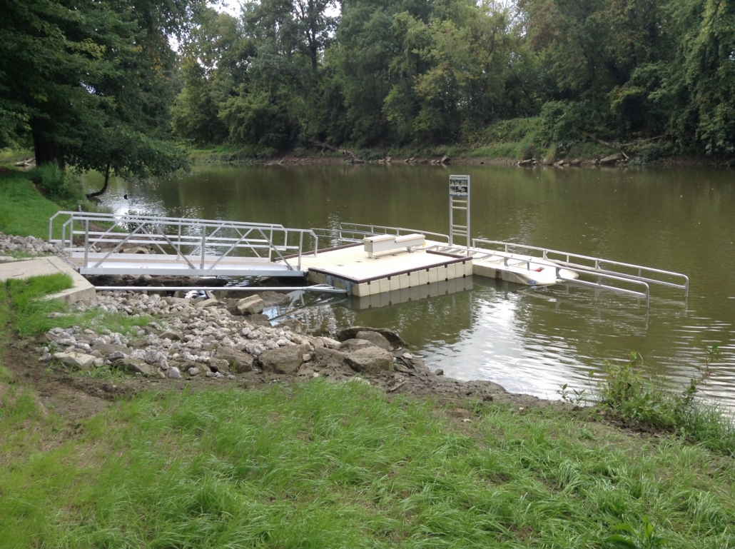
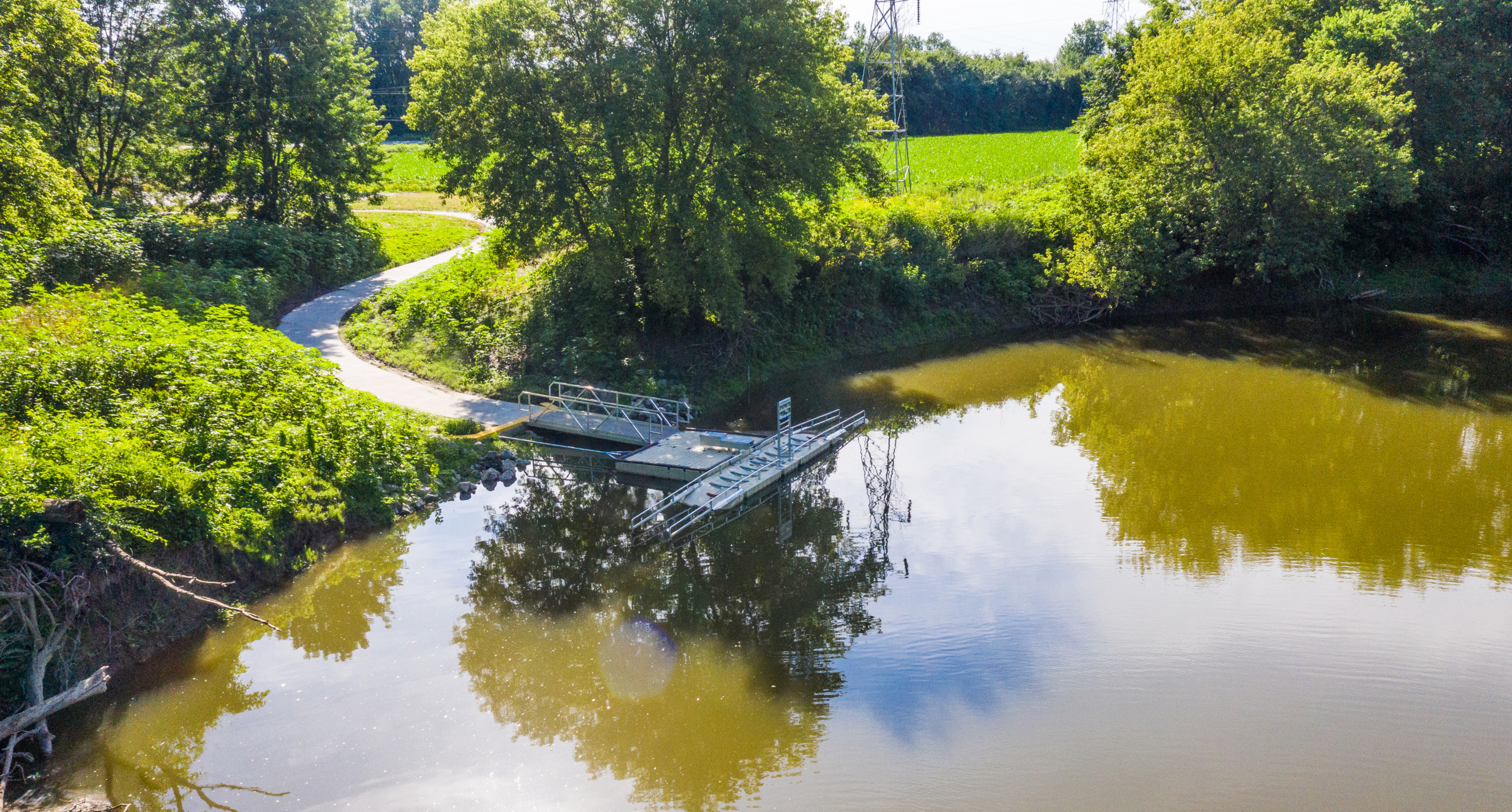
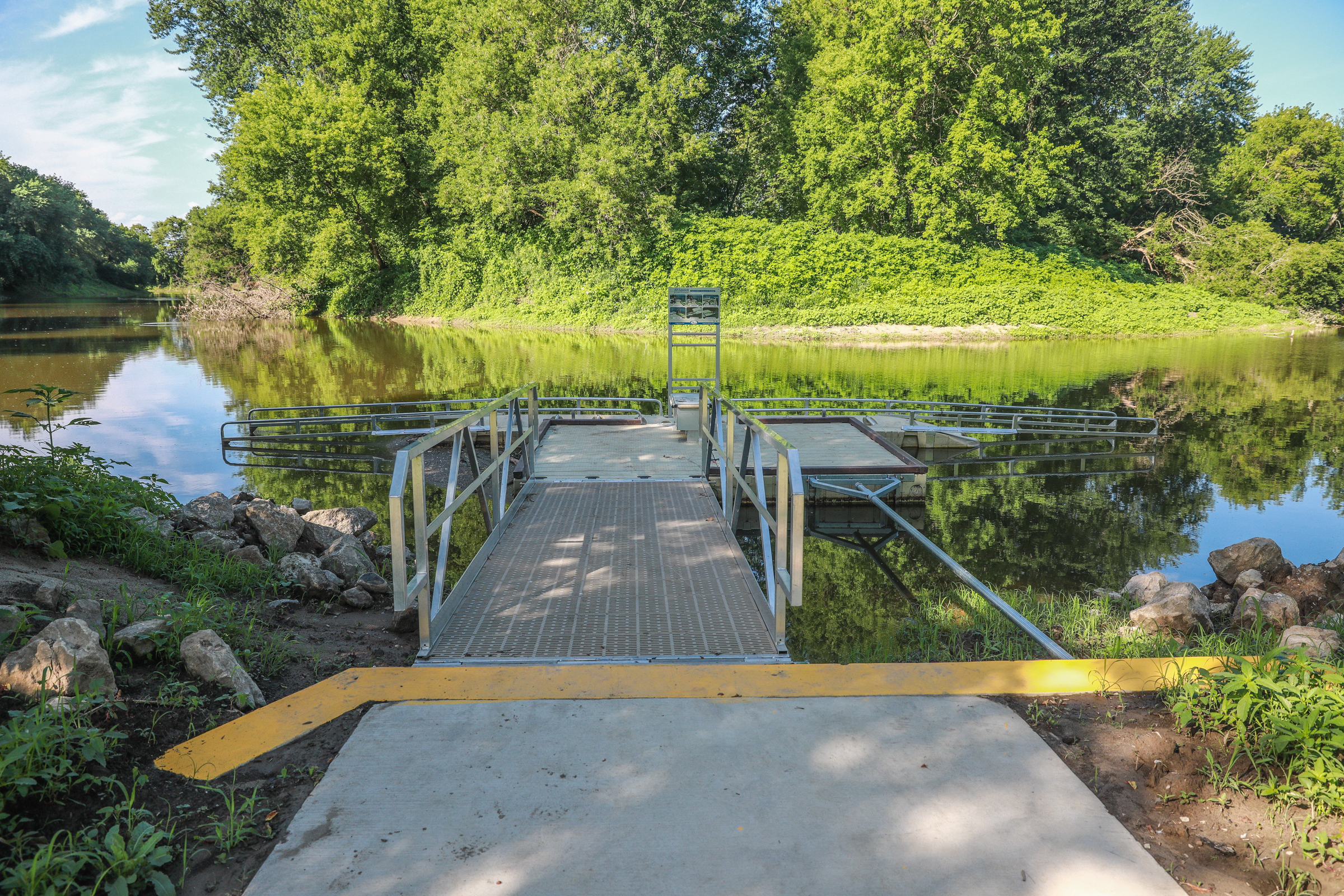
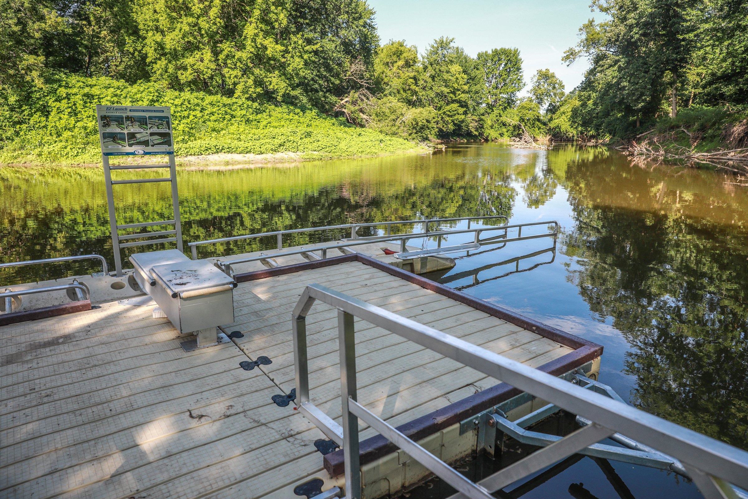
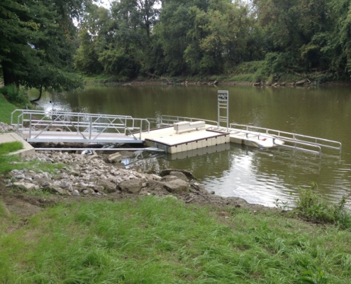
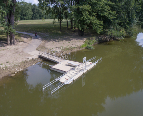
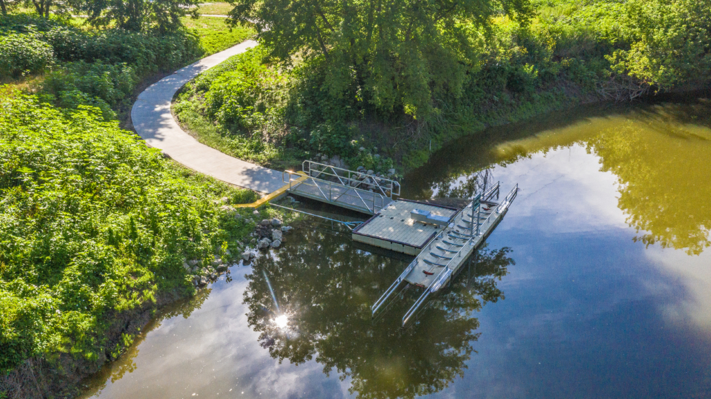
Both Hoffman Park and Davis Park feature a floating, universal accessible, launch.

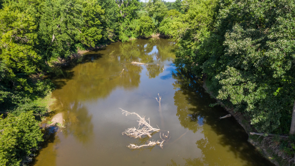
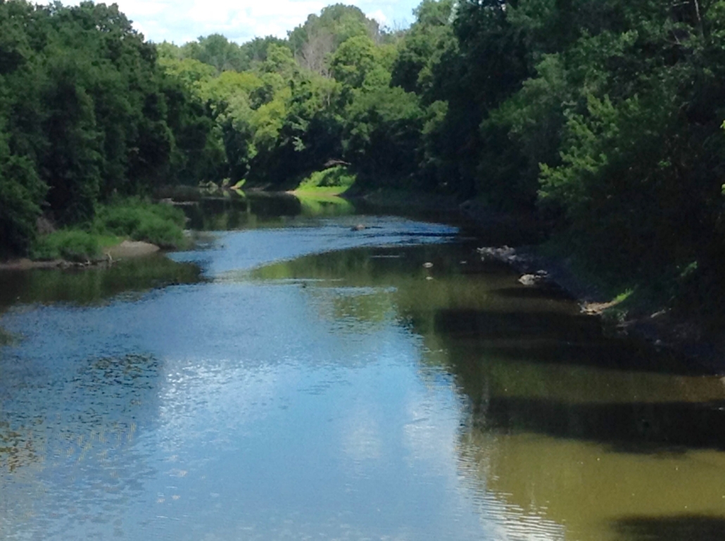
This is a quiet segment of the Cass River Water Trail.  Some stretches are slightly narrower and shallower than the previous sections.  Dodging fallen tree, debris, and sand bars is more common on this stretch of river.  However, portaging is not normally required.  The area is primarily rural with some homes seen from the river, but there are also long stretches that have a nice riparian forest corridor.  The river current is normally slow to moderate.

A paddler will pass under the I-75 Highway Bridge about midway through the trip and the under the Fort Road Bridge as on nears Davis Park.

Download Trail Map

How to Use This Map: Click the tab in the top left hand corner of the map to view the layers. You can click the check marks to hide or show layers. If you click the icons on the map, you can get more information about each point of interest.  If you click the star after the title of the map, this map will be added to your Google Maps account. To view it on your phone or computer, open Google Maps, click the menu button, go to “Your Places,” click Maps, and you will see this map on your list.

Terrain 360 River View: Click on the small blue dots on the map, then select the hyperlink to be taken to a 360-degree view of the river.

Hoffmann Community Park AccessVideo of Hoffmann Community Park AccessDavis Park AccessVideo of Davis Park Access

Bridgeport Township

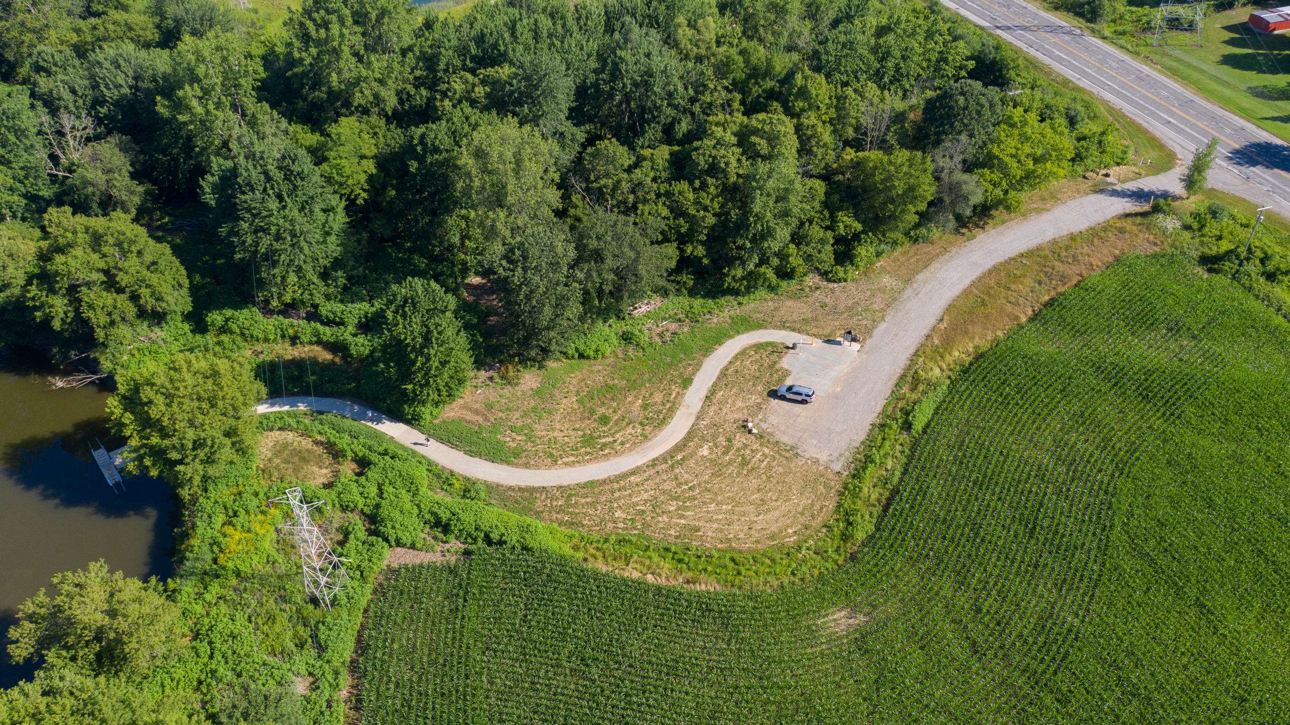
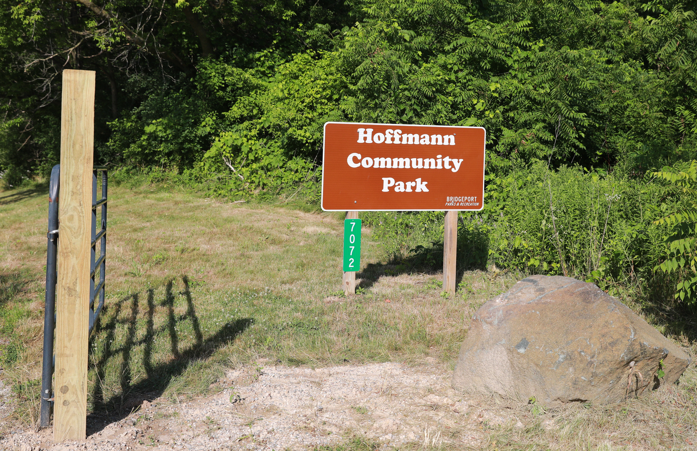
7072 Dixie Hwy, Bridgeport; Northwest corner of Dixie Highway and the Cass River, Bridgeport Township

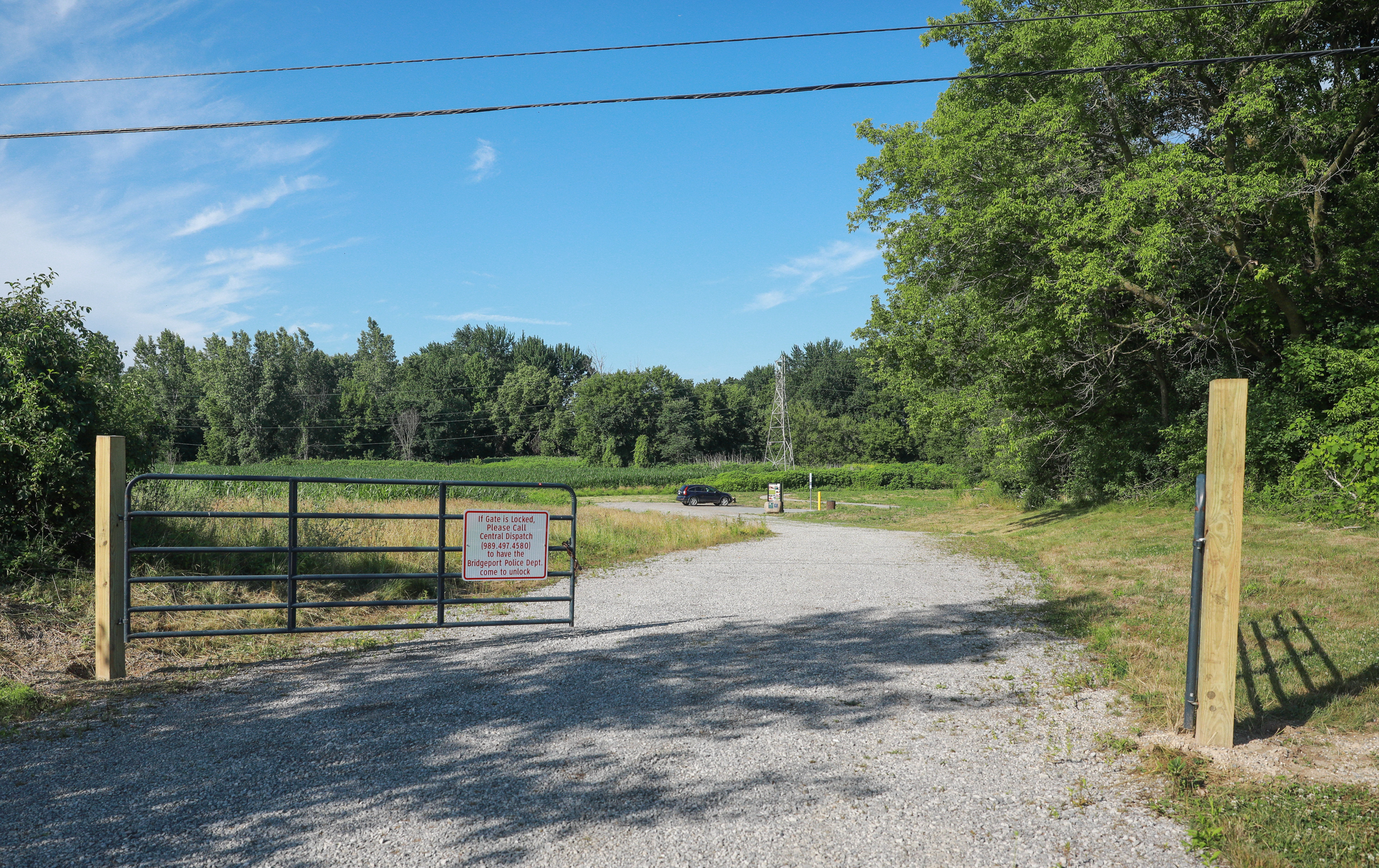
Type: Universally accessible floating dock system with paved walkway

Parking: Small gravel Parking lot for less than 10 vehicles

Parking Address: 7072 Dixie Hwy, Bridgeport, MI 48722

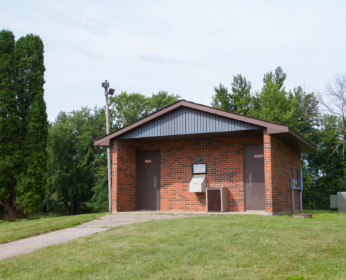
Facilities: Restroom

Click Here to Get Directions
PreviousNext
1234567
Click here for information on accessible launches

Bridgeport Township

6210 McKinley Road, Bridgeport, behind the Bridgeport Township Governmental Center, north side of river

Type: Universally accessible floating dock system with paved walkway

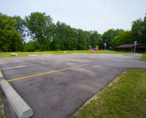
Parking: Paved parking lot with 2 handicapped and 8 regular spaces

Parking Address: 6210 McKinley Road, Bridgeport, MI

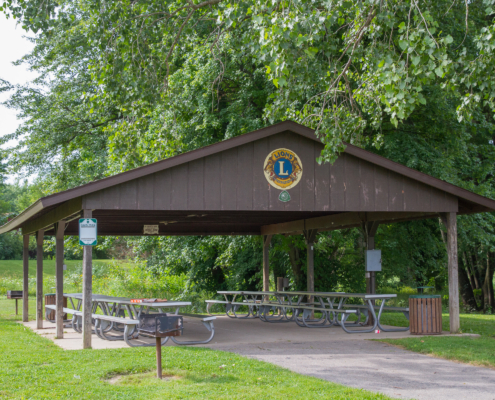
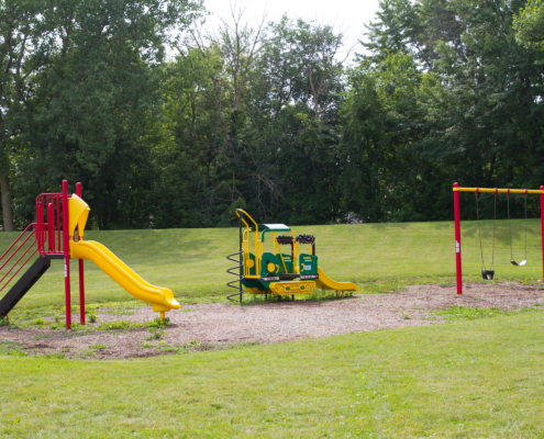
Facilities: Pavilion with picnic tables, grills, & playground. Restrooms available at the Township Governemental Center, short walk to downtown Bridgeport.

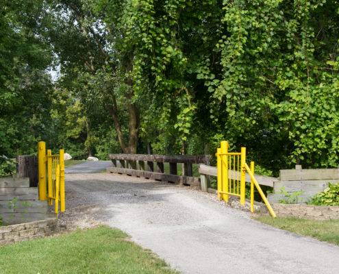
*Davis Park is close to the Historic Village in Bridgeport, the Historic Bridge and a walking trail.

Click Here to Get Directions
  • Davis Park 11 - Brian Chapman Photo Credit: Jon Cook
PreviousNext
1234567
Click here for information on accessible launches
Find A Different Trip
Scroll to top