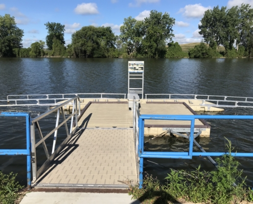
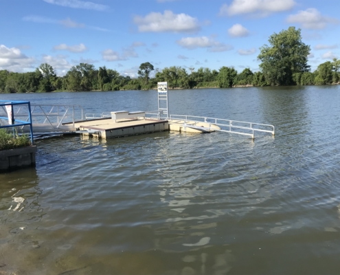
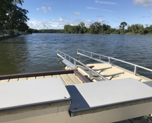
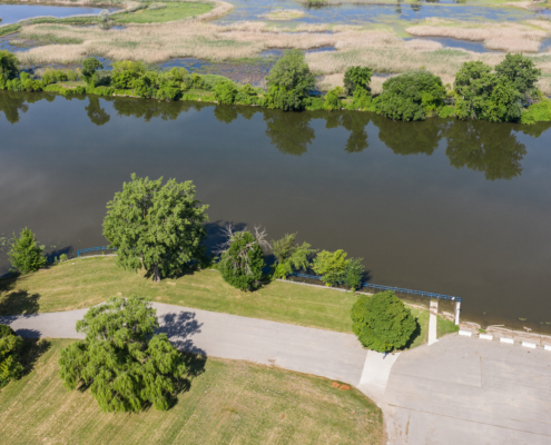
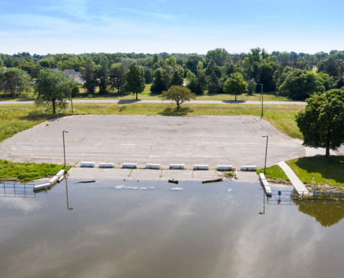
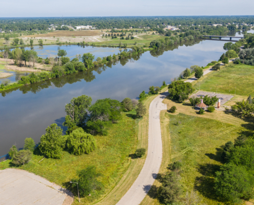
M-13 to Wickes Park
Beginner
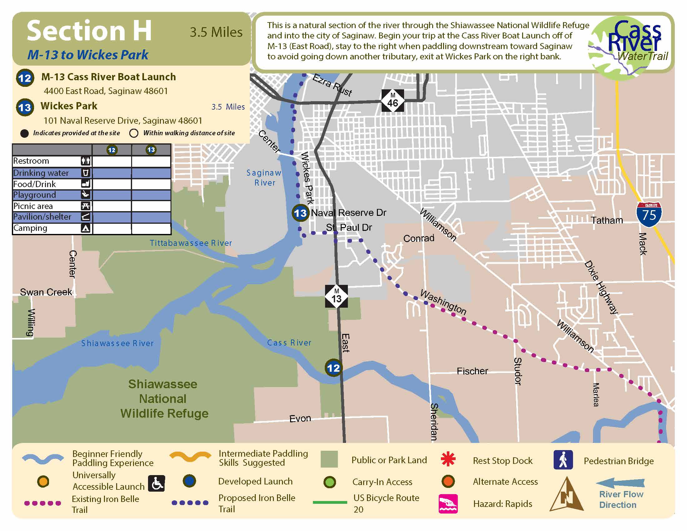
3.5 Miles, 1.5 to 2.5 Hours
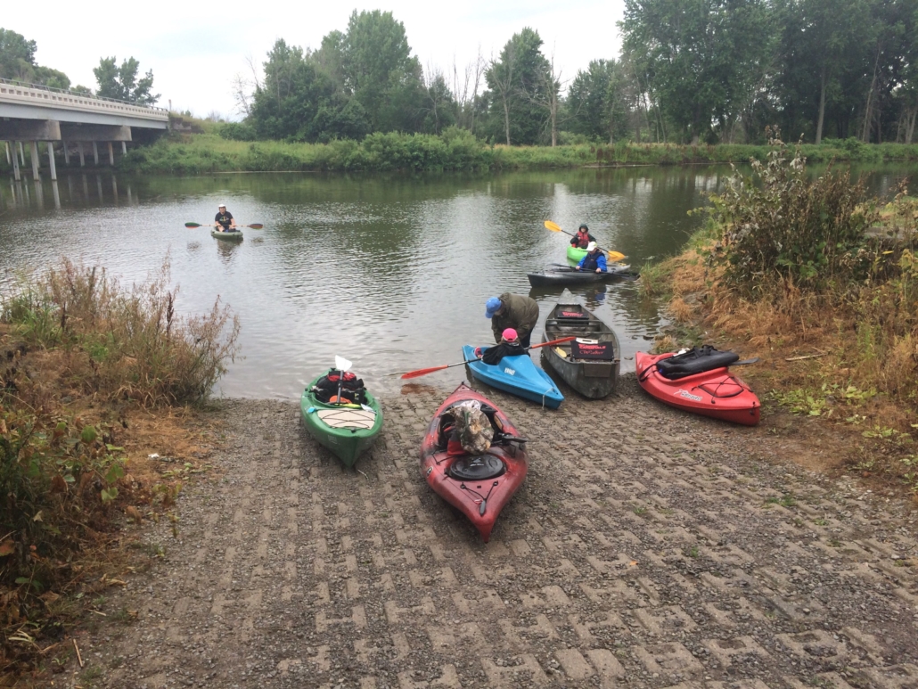
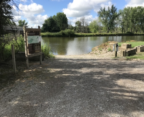
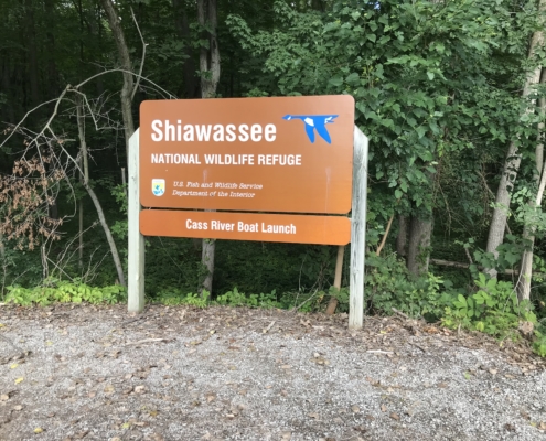
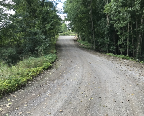
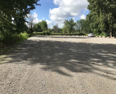
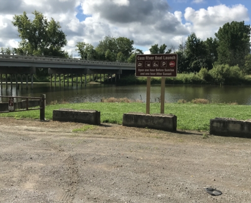
Start: M-13 Boat Launch
Finish: Wickes Park
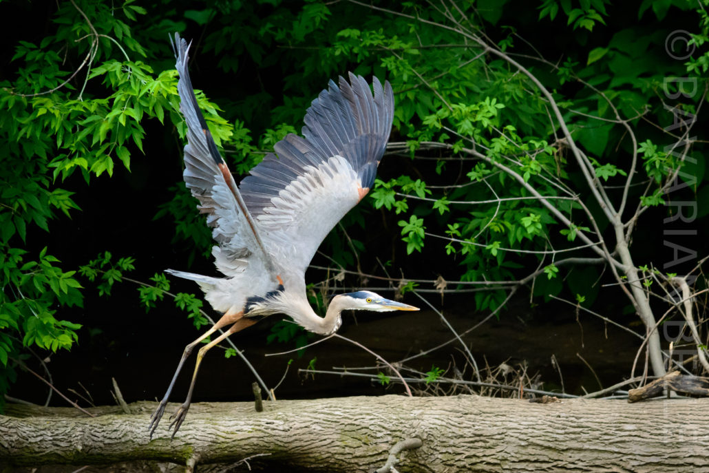
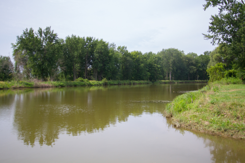
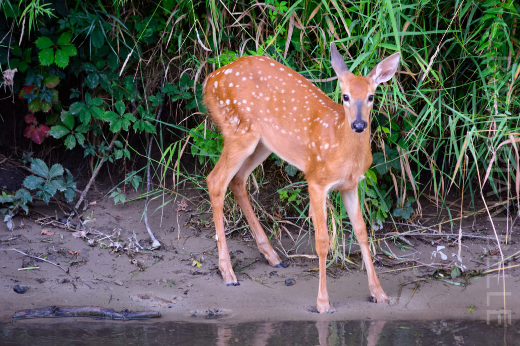
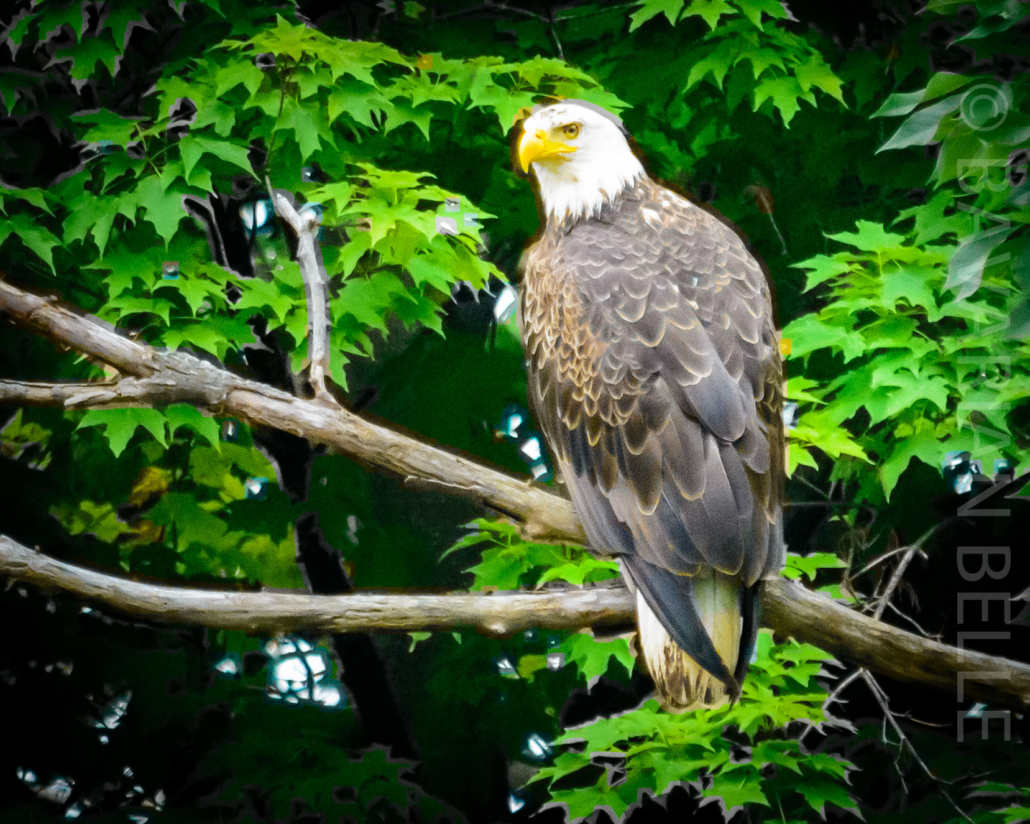
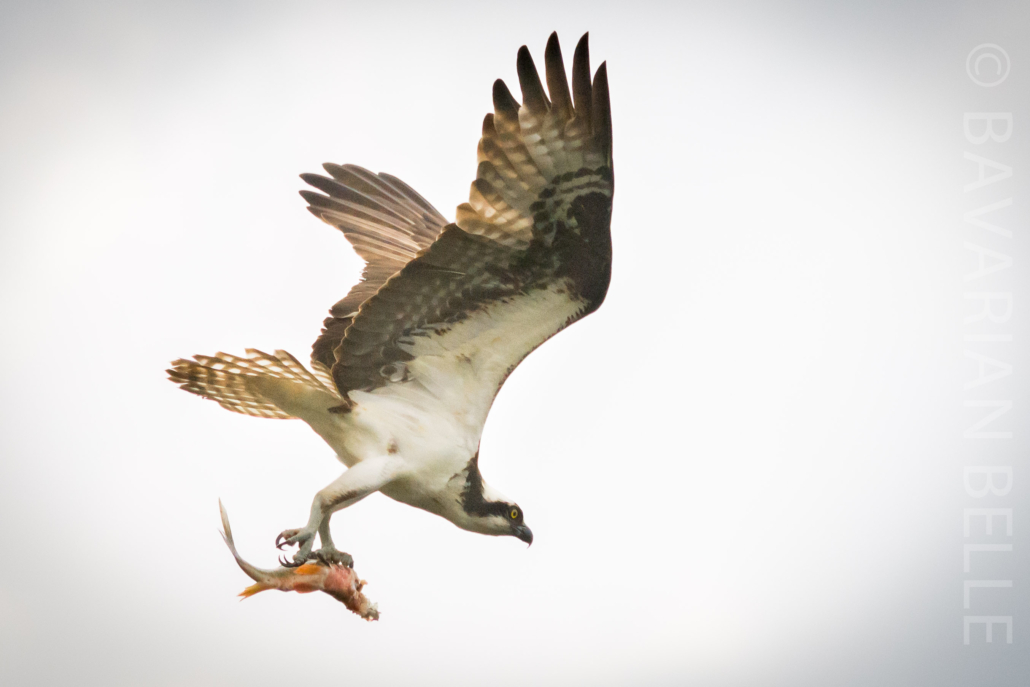
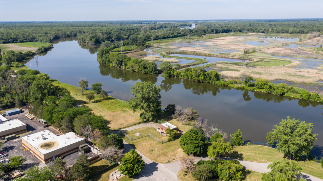
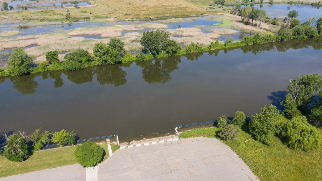
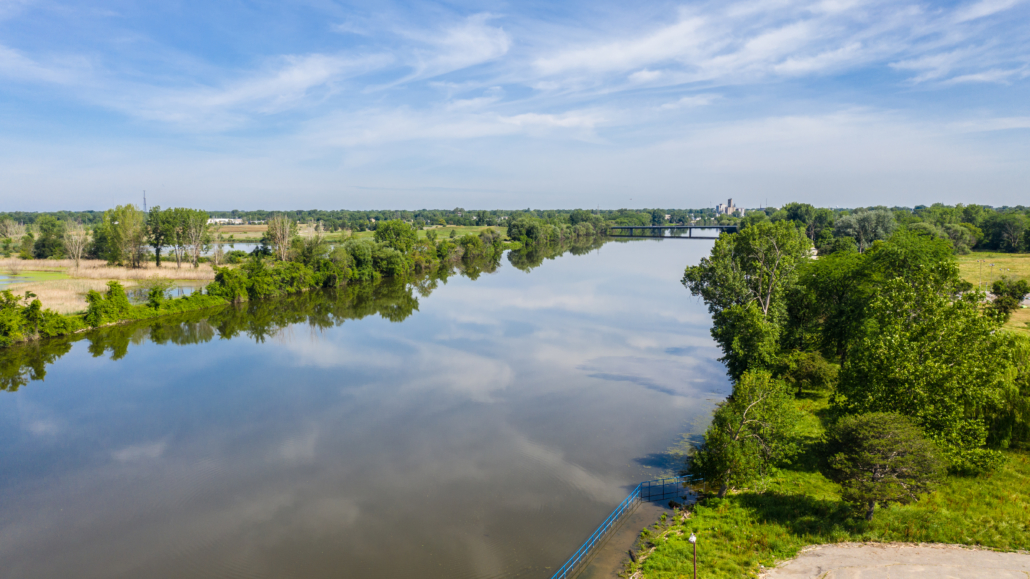
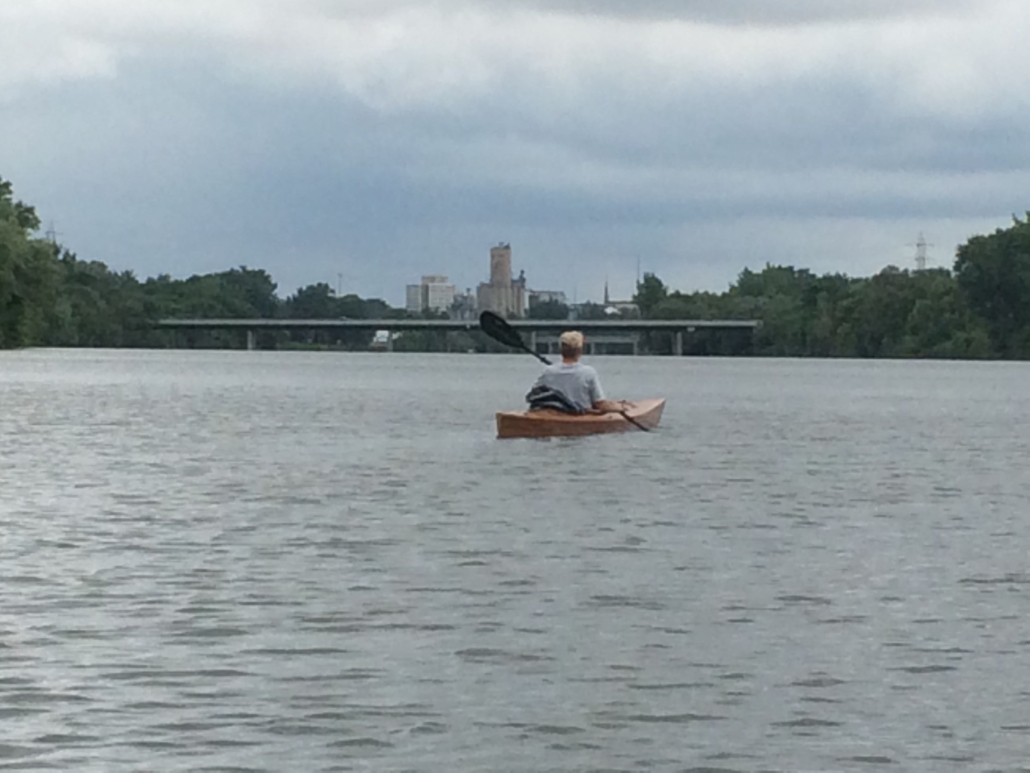
This is a unique final segment that passes through the natural features of the Shiawassee National Wildlife Refuge and then opens up into a large river system in an urban area. This section features slower water, but paddlers will likely encounter more motorized boats when approaching Saginaw.
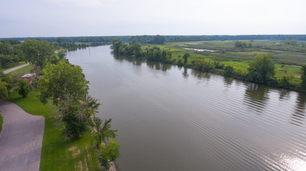
The Cass River enters the Shiawassee River approximately 2 miles downstream of M-13. As the Cass River ends and flows into the Shiawassee, the river opens up into a very wide expanse of water. Soon after entering the Shiawassee River, the Tittabawassee River will flow in from the left (west). Paddlers should stay to the right when padding downstream toward Saginaw to avoid going in the wrong direction or down another tributary. After the confluence of the rivers, Wickes Park will be on the paddlers right side, which is the east side of the Saginaw River.
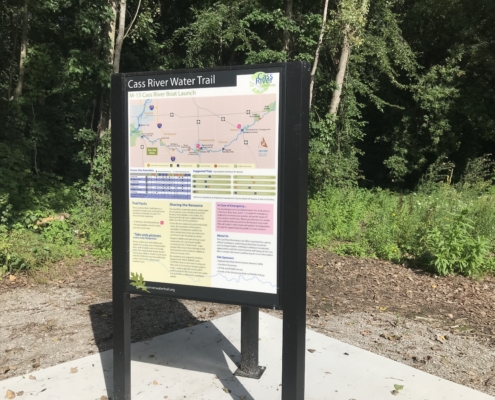
How to Use This Map: Click the tab in the top left hand corner of the map to view the layers. You can click the check marks to hide or show layers. If you click the icons on the map, you can get more information about each point of interest. If you click the star after the title of the map, this map will be added to your Google Maps account. To view it on your phone or computer, open Google Maps, click the menu button, go to “Your Places,” click Maps, and you will see this map on your list.
Terrain 360 River View: Click on the small blue dots on the map, then select the hyperlink to be taken to a 360-degree view of the river.

