Cass River Water TrailLocal Weather Alerts
There are currently no active weather alerts.
Cass River Water Trail
  • Home
  • Plan A Trip
    • Suggested Trips
    • Trail Towns
    • Rentals & Tours
    • Camping
    • Safety
    • Canoe & Kayak Access Sites
  • Explore
    • Maps
    • Fishing
    • History
    • Photos
  • River Conditions
    • Water Levels
    • Live Cam
    • Weather
    • Hazards
  • Get Involved
    • About
    • Events
    • Contact
  • Resources
    • Cass River Greenway
    • Links
    • Documents
  • Search
  • Menu Menu
PreviousNext
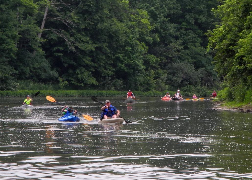
Tuscola to Frank Paddle_2 Bob Zeilinger
Frank out & back Bob Zeilinger
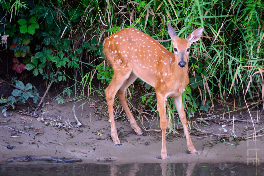
Fawn standing shore north Bob Zeilinger

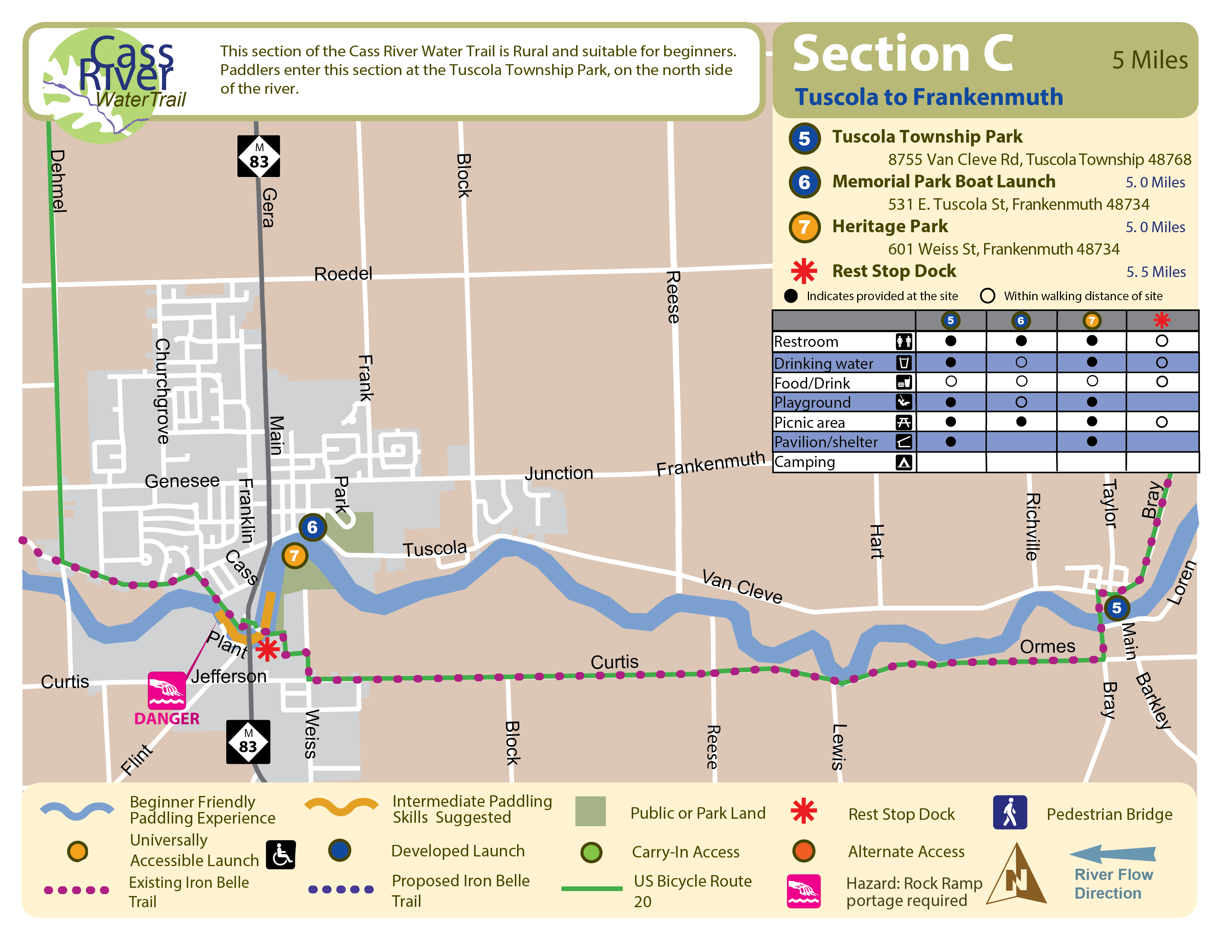
Tuscola to Frankenmuth

Beginner

5 Miles, 1.5 to 2.25 Hours

Universally Accessible Launch: Heritage Park

Start: Tuscola Township Park
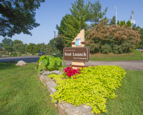
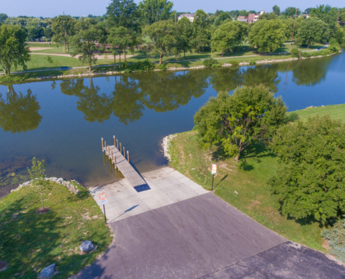
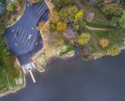
Finish: Memorial Park Boat Launch or Heritage Park

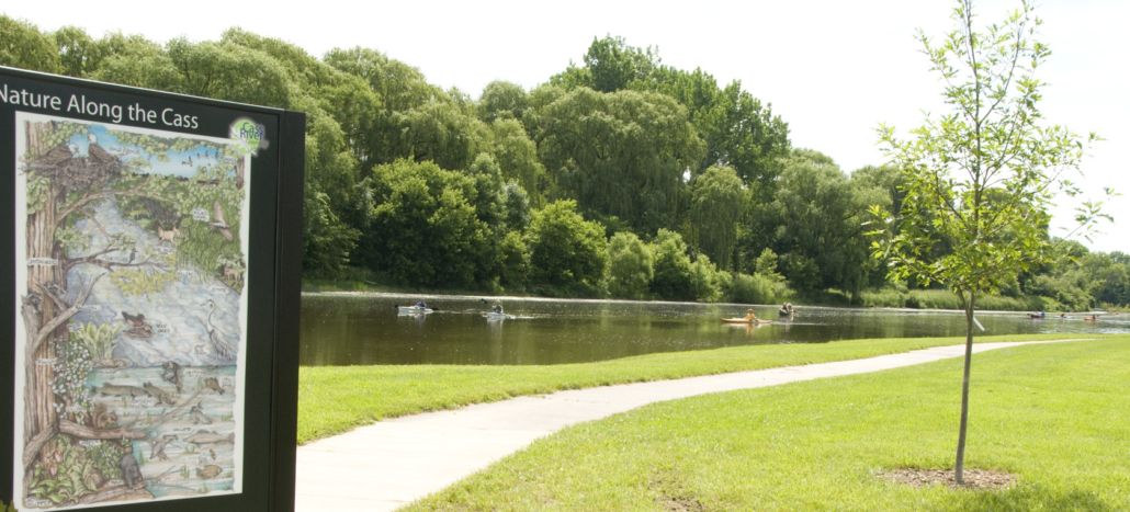
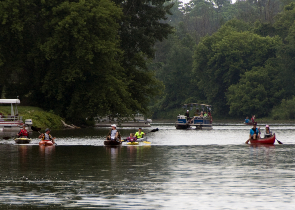
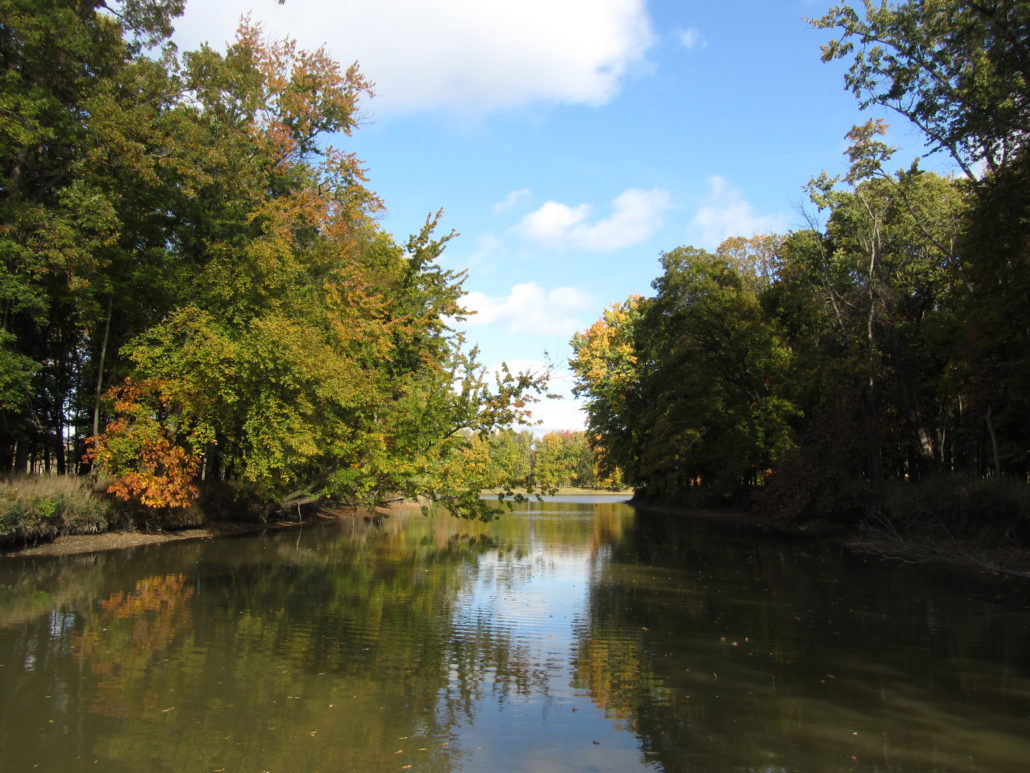
On this section, riffles become less common, while long stretches of deep and slow water become more prevalent. Travel time could vary greatly depending on wind conditions and how willing the voyager is to paddle. Floating along is less practical as one nears Frankenmuth, due to the slowed current upstream from Frankenmuth. Fishing boats, pontoons and commercial tour boats are common sightings along this relatively wide and still beautiful stretch of river.

Download Trail Map

How to Use This Map: Click the tab in the top left hand corner of the map to view the layers. You can click the check marks to hide or show layers. If you click the icons on the map, you can get more information about each point of interest.  If you click the star after the title of the map, this map will be added to your Google Maps account. To view it on your phone or computer, open Google Maps, click the menu button, go to “Your Places,” click Maps, and you will see this map on your list.

Terrain 360 River View: Click on the small blue dots on the map, then select the hyperlink to be taken to a 360-degree view of the river.

Tuscola Township Park AccessVideo of Tuscola Township Park AccessMemorial Park Boat LaunchHeritage Park Access

Tuscola Township

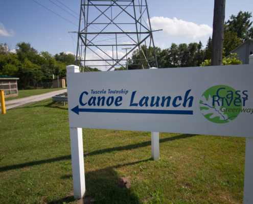
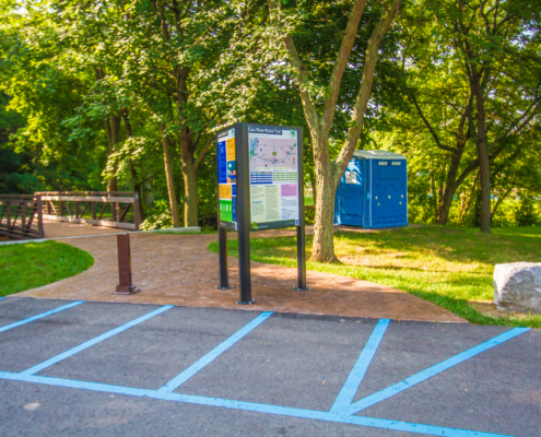
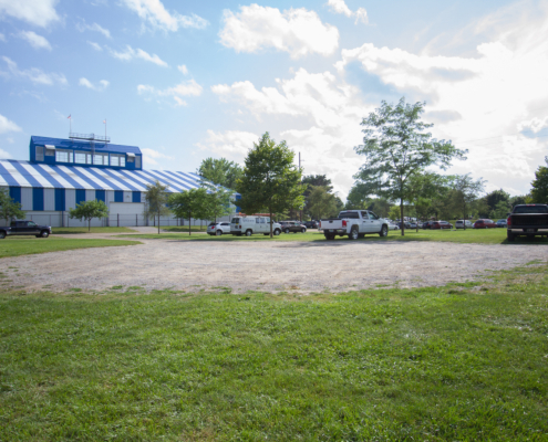
Off Van Cleve Road in Tuscola on the north side of river

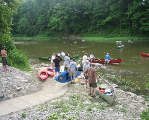
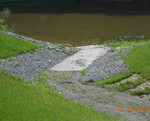
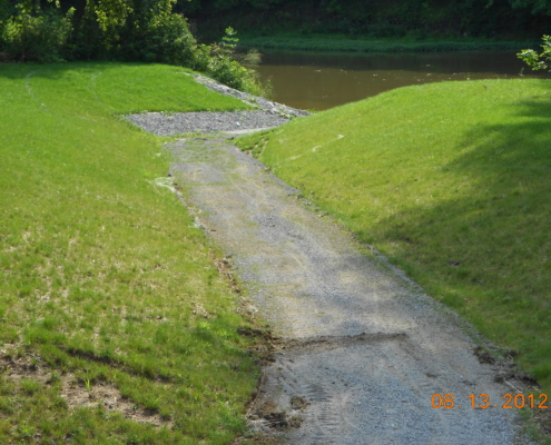
Type: Gravel pathway with concrete at the water’s edge

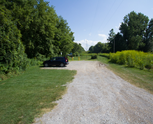
Parking: Gravel parking lot for 6-8 vehicles

Parking Address: 8755 Van Cleve Road, Tuscola Township, MI 48768

Facilities: Pit toliet, playground, picnic table, hiking trail, fishing access. Ball fields and picnic pavilions nearby

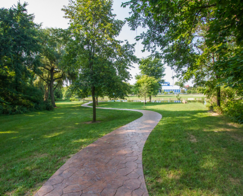
*Perfect location for paddlers looking to adventure down 5 miles of the Cass River to Frankenmuth. This launch is a gentle slope pathway right to the water. A convenience store is located 1/4 mile from launch.

Click Here to Get Directions
  • Tuscola 23 Brian Chapman Photo Credit: Jon Cook
PreviousNext
12345

City of Frankenmuth

531 E. Tuscola Road, Frankenmuth, north side of the river

Type: Paved launch for trailered boats and various bank options for canoes/kayaks

Parking: Paved for 15+, including trailers

Parking Address: 531 E. Tuscola Road, Frankenmuth, MI 48734

Facilities: Picnic areas, 40-acre park

*Directly across the river from Heritage Park

Click Here to Get Directions
PreviousNext
1234567

City of Frankenmuth

601 Weiss Street, Frankenmuth, south side of the river

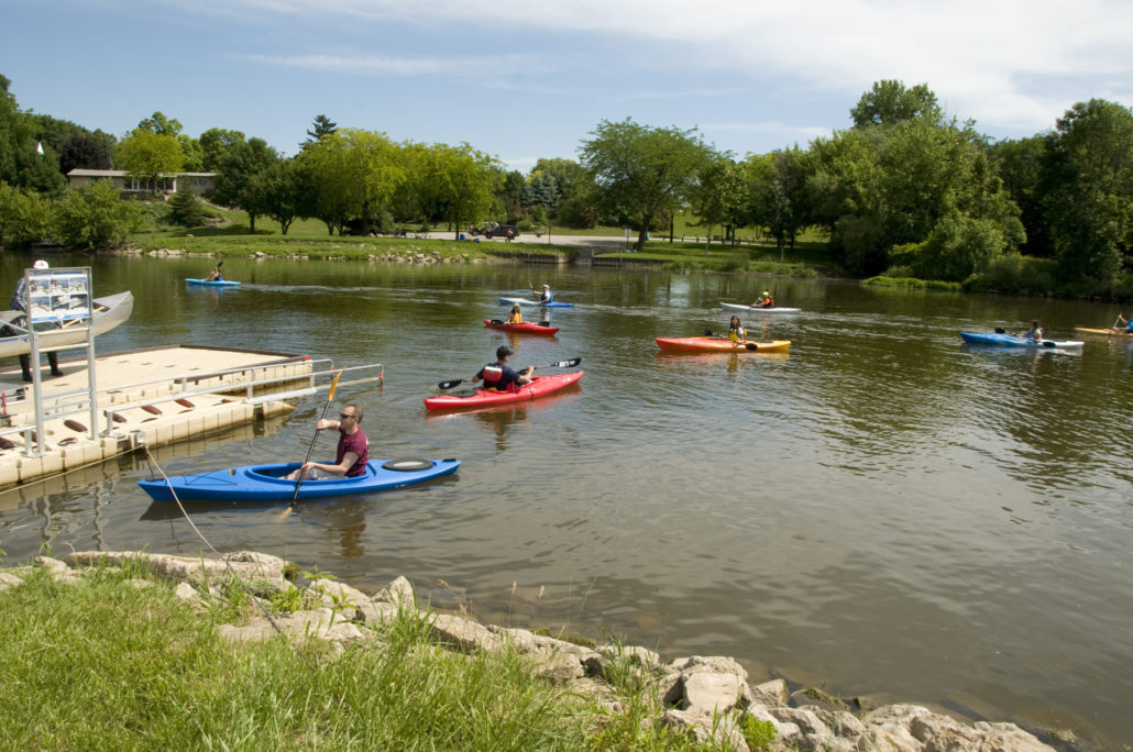
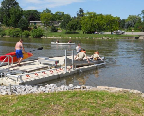
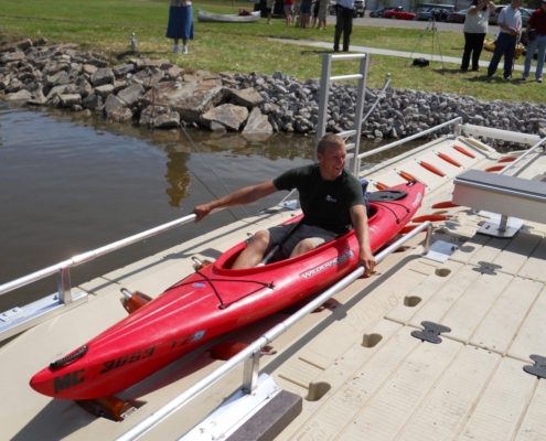
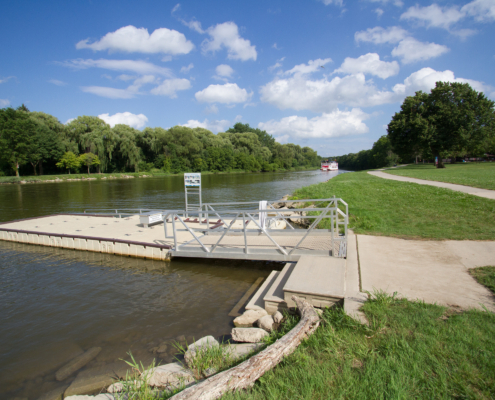
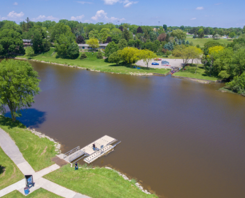
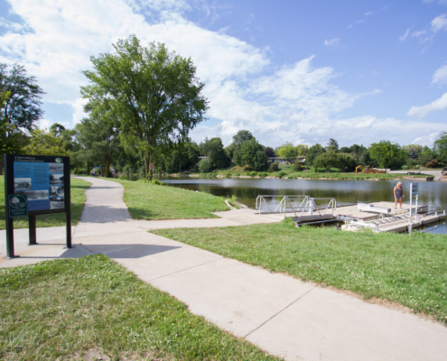
Type: Universally accessible floating dock with paved pathway

Parking: Gravel/grass for 50+ vehicles

Parking Address: 601 Weiss Street, Frankenmuth, MI 48734

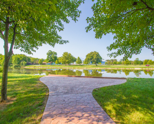
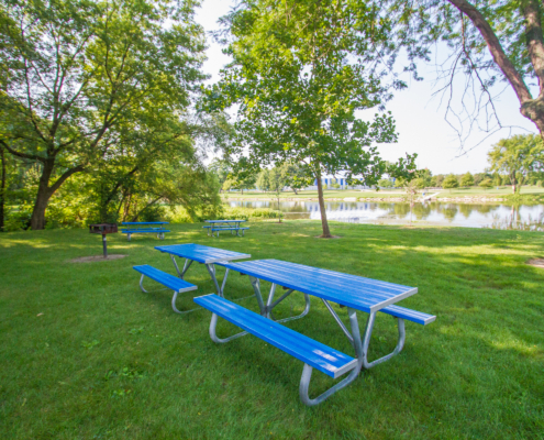
Facilities: (on site or nearby amenities): Picnic areas, Restrooms, 35-acre park including ball feilds, pavilions, and walking trails

*Access to Heritage Park is limited on some dates due to events in the park:
    – November – Mid April Park closed to vehicular traffic for season
    – July 4 (7am – noon)
    – July 28 (9am – 5pm)
    – Sept 7-9
  The Memorial Park Boat Launch is a great alternative to Heritage park launch during these times.

Click Here to Get Directions
  • Frankenmuth_launch_(5)_1 Bob Zeilinger
PreviousNext
123456
Find A Different Trip
Scroll to top