Cass River Water TrailLocal Weather Alerts
There are currently no active weather alerts.
Cass River Water Trail
  • Home
  • Plan A Trip
    • Suggested Trips
    • Trail Towns
    • Rentals & Tours
    • Camping
    • Safety
    • Canoe & Kayak Access Sites
  • Explore
    • Maps
    • Fishing
    • History
    • Photos
  • River Conditions
    • Water Levels
    • Live Cam
    • Weather
    • Hazards
  • Get Involved
    • About
    • Events
    • Contact
  • Resources
    • Cass River Greenway
    • Links
    • Documents
  • Search
  • Menu Menu
PreviousNext
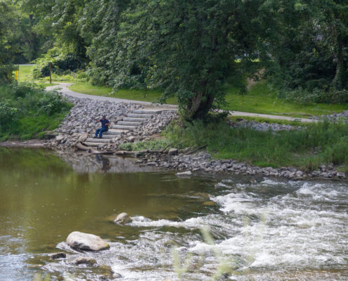
Downtown Vassar 3 Photo Credit: Jon Cook
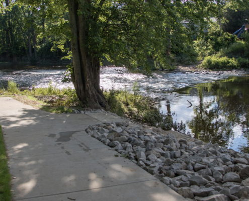
Tuscola 6 Brian Chapman Photo Credit: Jon Cook
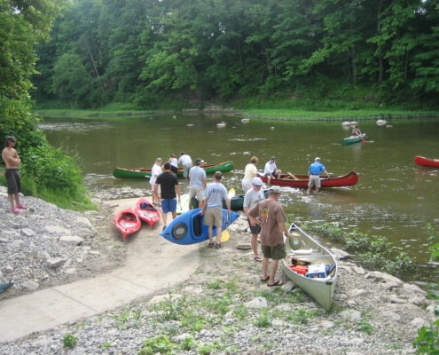
Tuscola 14 Brian Chapman Photo Credit: Jon Cook

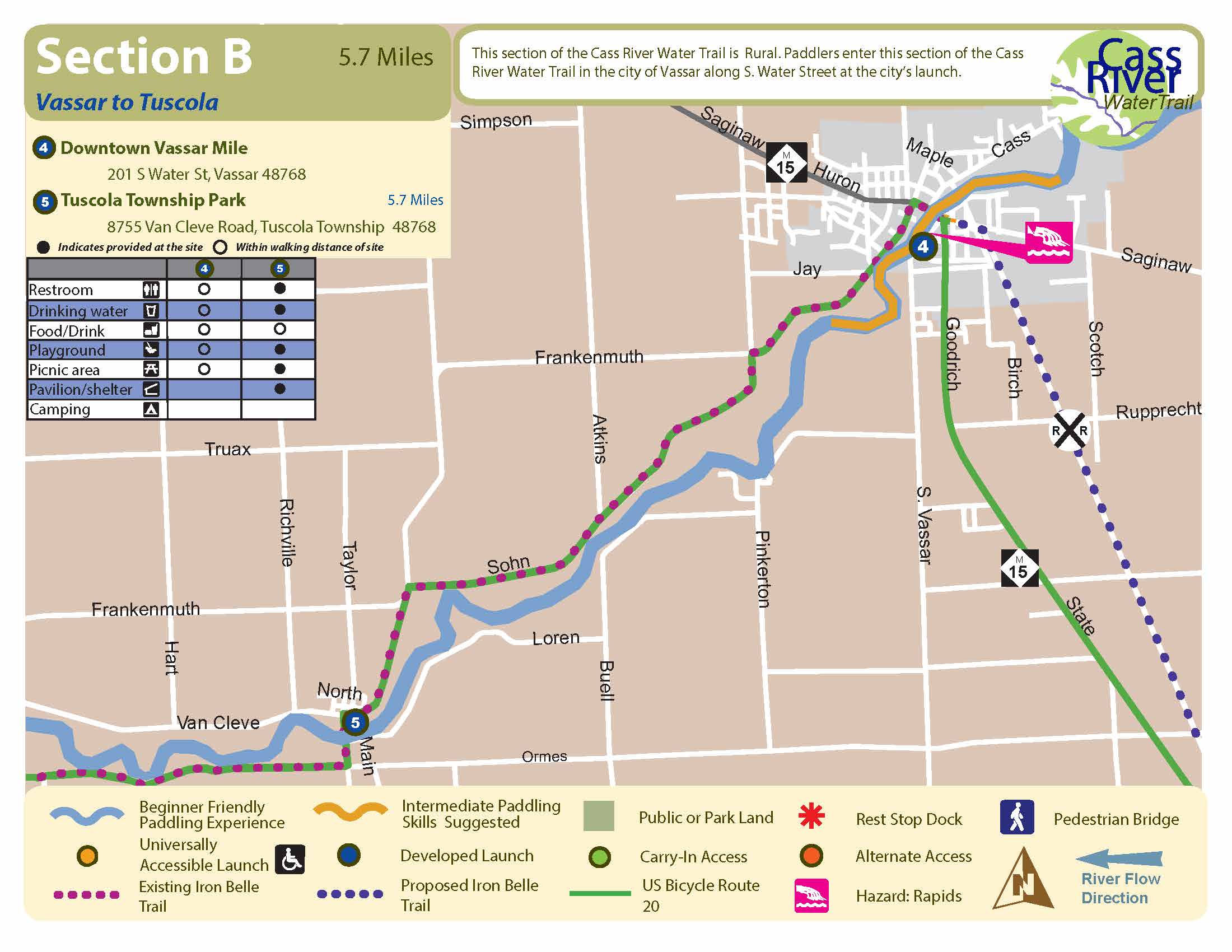
Vassar to Tuscola

Beginner

5.7 Miles, 2 to 3 Hours

Start: Downtown Vassar
Finish: Tuscola Township Park

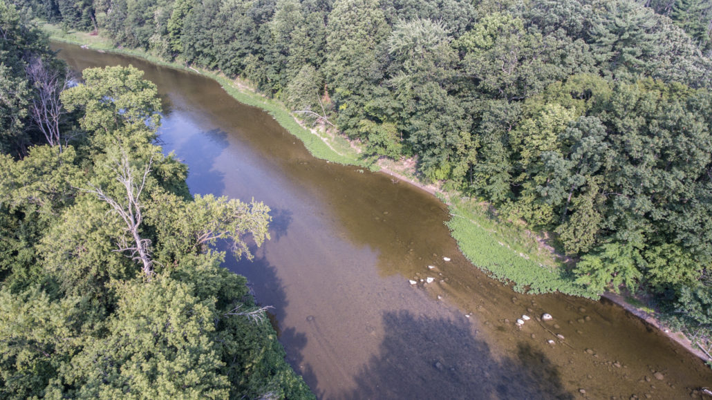
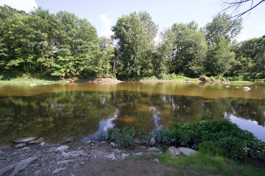
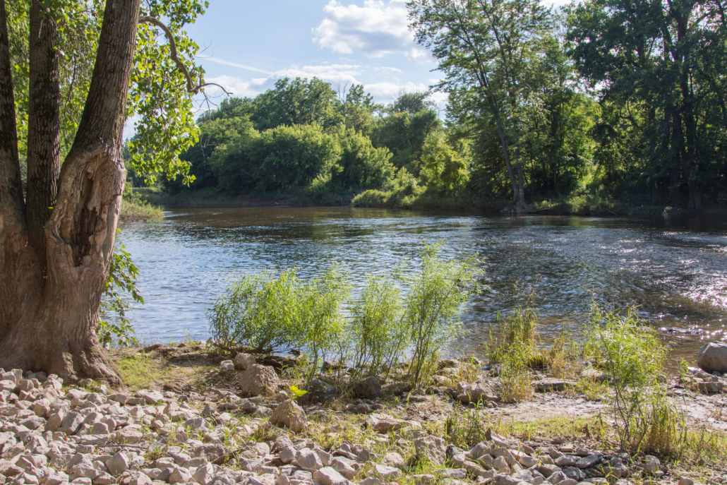
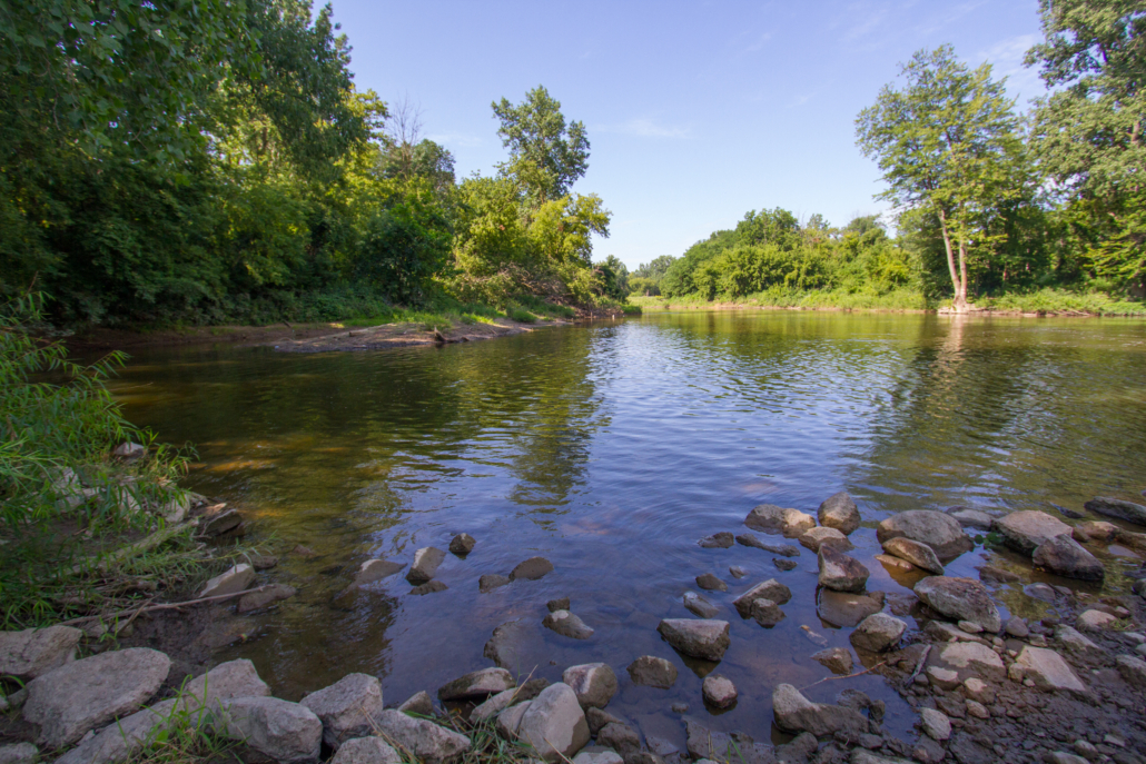
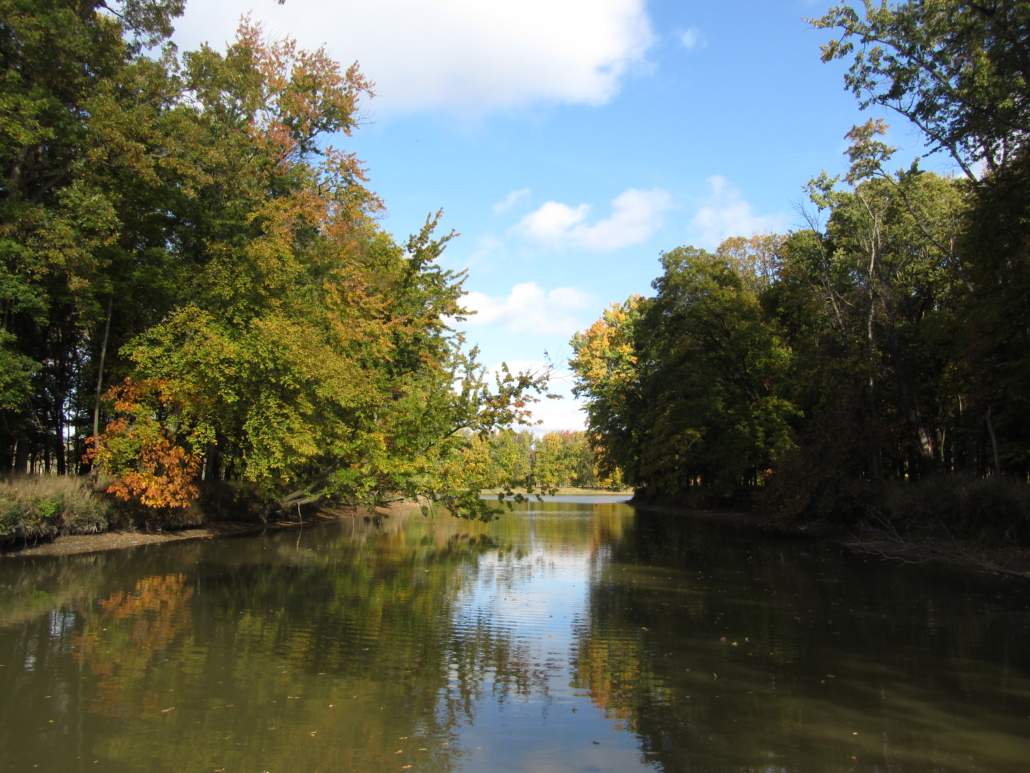
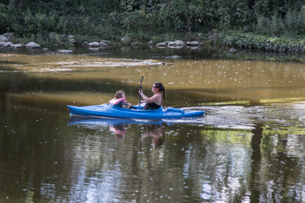
This is a picturesque stretch of river, with several riffles and large rocks to navigate. There is the occasional view of private homes and agricultural fields along the banks, but this stretch is mostly wooded, and wildlife sightings are more common than one would expect. The current is moderate and begins to slow somewhat as you get closer to Tuscola.

Download Trail Map

How to Use This Map: Click the tab in the top left hand corner of the map to view the layers. You can click the check marks to hide or show layers. If you click the icons on the map, you can get more information about each point of interest.  If you click the star after the title of the map, this map will be added to your Google Maps account. To view it on your phone or computer, open Google Maps, click the menu button, go to “Your Places,” click Maps, and you will see this map on your list.

Terrain 360 River View: Click on the small blue dots on the map, then select the hyperlink to be taken to a 360-degree view of the river.

Vassar Canoe and Kayak LaunchVideo of Vassar Canoe and Kayak LaunchTuscola Township Park AccessVideo of Tuscola Township Park Access

City of Vassar

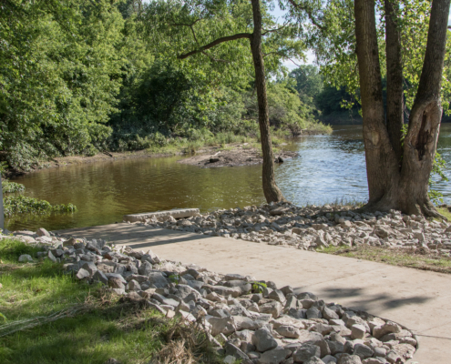
Along S.Water St, near Plumb St, just one block west of M-15 (Goodrich St) on the south/east side of the river

Type: Concrete accessible path with steps at the water’s edge

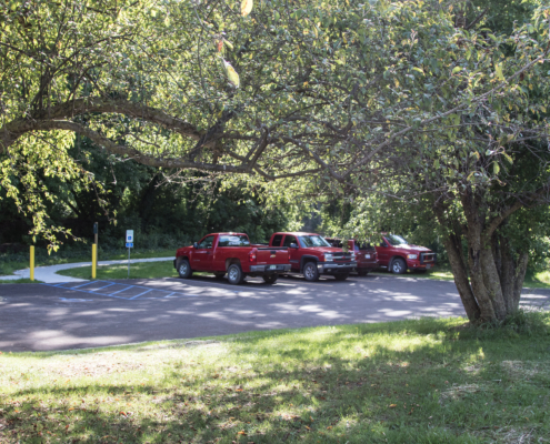
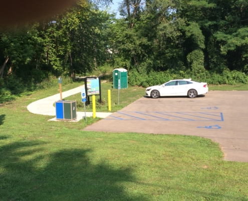
Parking: Small paved parking lot (no trailers) off Water St

Parking Address: 201 S Water Street, Vassar, MI 48768

Facilities: Restrooms, drinking water, playground, picnic facilities and other amenities are available within a short walk to downtown or across the river at T.North Pavilion.

*Just one block off M-15, this developed launch is perfect for beginners. Boasting several nearby amenities, this site offers paddlers a rural feel with small town services.

Click Here to Get Directions
  • Downtown Vassar 23 Brian Champman Photo Credit: Jon Cook
PreviousNext
12345

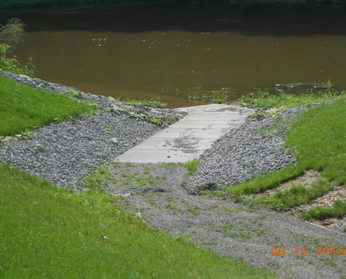
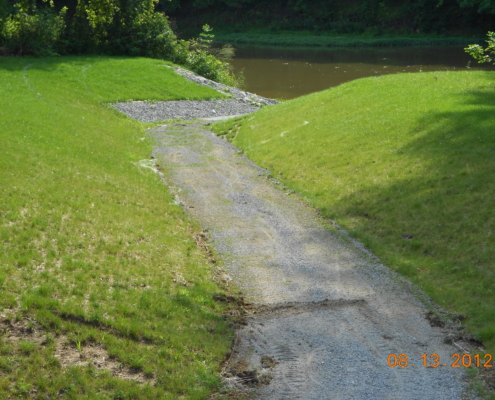
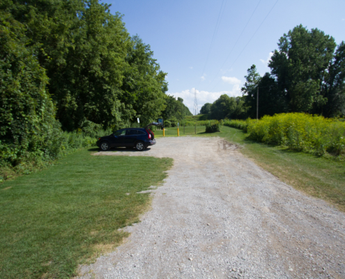
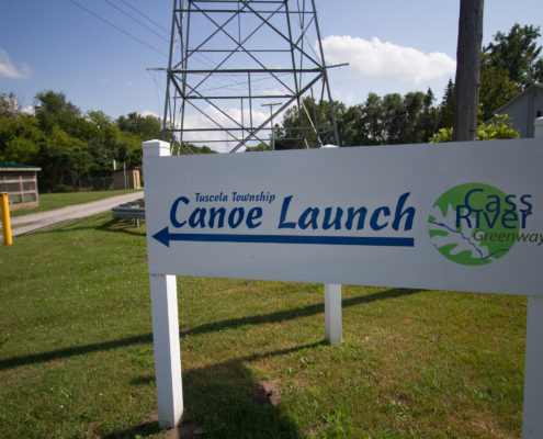
Tuscola Township

Off Van Cleve Road in Tuscola on the north side of river

Type: Gravel pathway with concrete at the water’s edge

Parking: Gravel parking lot for 6-8 vehicles

Parking Address: 8755 Van Cleve Road, Tuscola Township, MI 48768

Facilities: Pit toliet, playground, picnic table, hiking trail, fishing access. Ball fields and picnic pavilions nearby

*Perfect location for paddlers looking to adventure down 5 miles of the Cass River to Frankenmuth. This launch is a gentle slope pathway right to the water. A convenience store is located 1/4 mile from launch.

Click Here to Get Directions
  • Tuscola 23 Brian Chapman Photo Credit: Jon Cook
PreviousNext
12345
Find A Different Trip
Scroll to top