Cass River Water TrailLocal Weather Alerts
There are currently no active weather alerts.
Cass River Water Trail
  • Home
  • Plan A Trip
    • Suggested Trips
    • Trail Towns
    • Rentals & Tours
    • Camping
    • Safety
    • Canoe & Kayak Access Sites
  • Explore
    • Maps
    • Fishing
    • History
    • Fish Passage Video
    • Photos
  • River Conditions
    • Water Levels
    • Live Cam
    • Weather
    • Hazards
  • Get Involved
    • About
    • Events
    • Contact
  • Resources
    • Cass River Greenway
    • Links
    • Documents
  • Search
  • Menu Menu
PreviousNext
Davis Park 11 - Brian Chapman Photo Credit: Jon Cook
enHornValerieRootJimBartelsTomKelleratMYoungsProperty4x6 - Bob Zeilinger
IMG_4494 copy - Bob Zeilinger
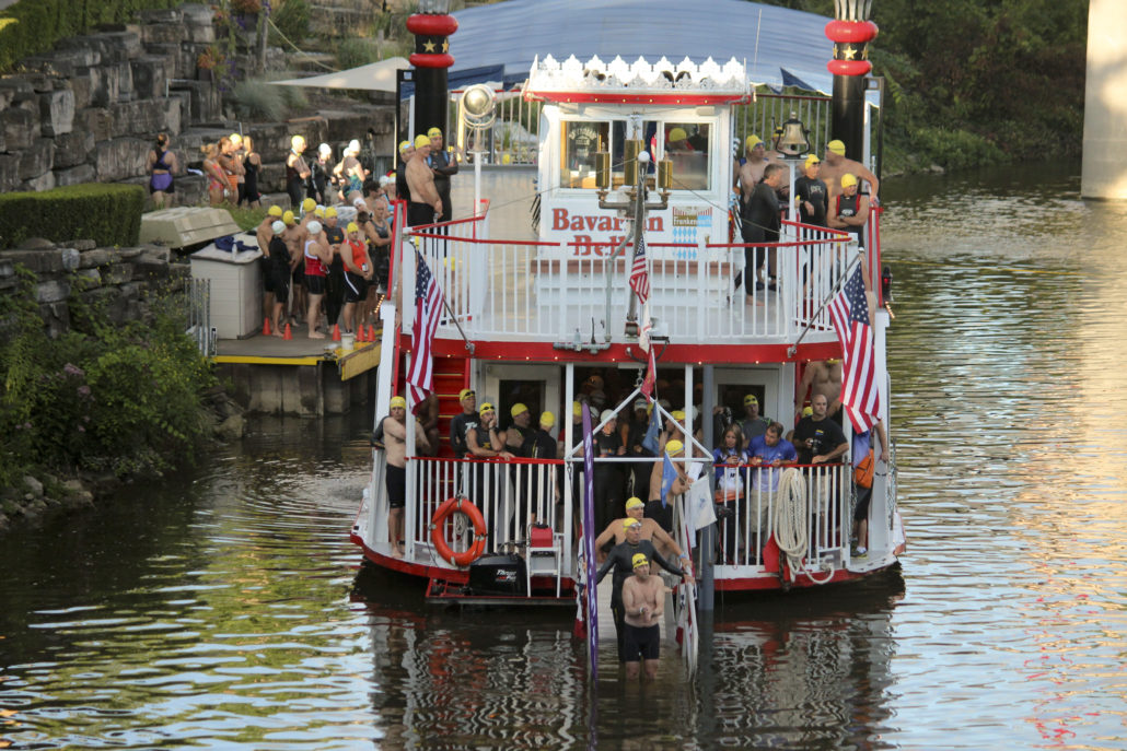
2017 Paddle&Swim - Bob Zeilinger
DSC_9239_3914 - Zachary Branigan
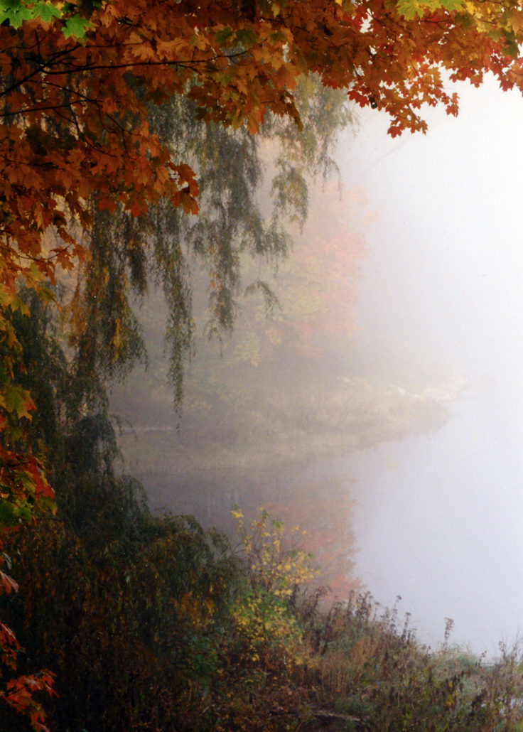
Cass River fall colors w fog great
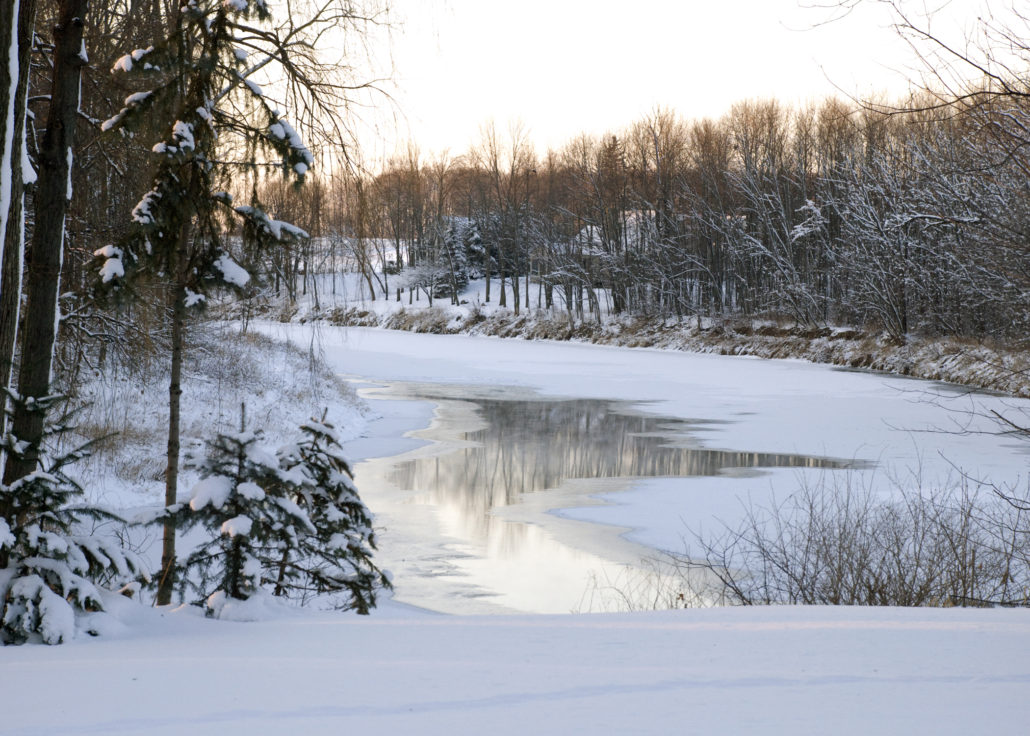
Cass river w snow and open water Tusc Cty_1
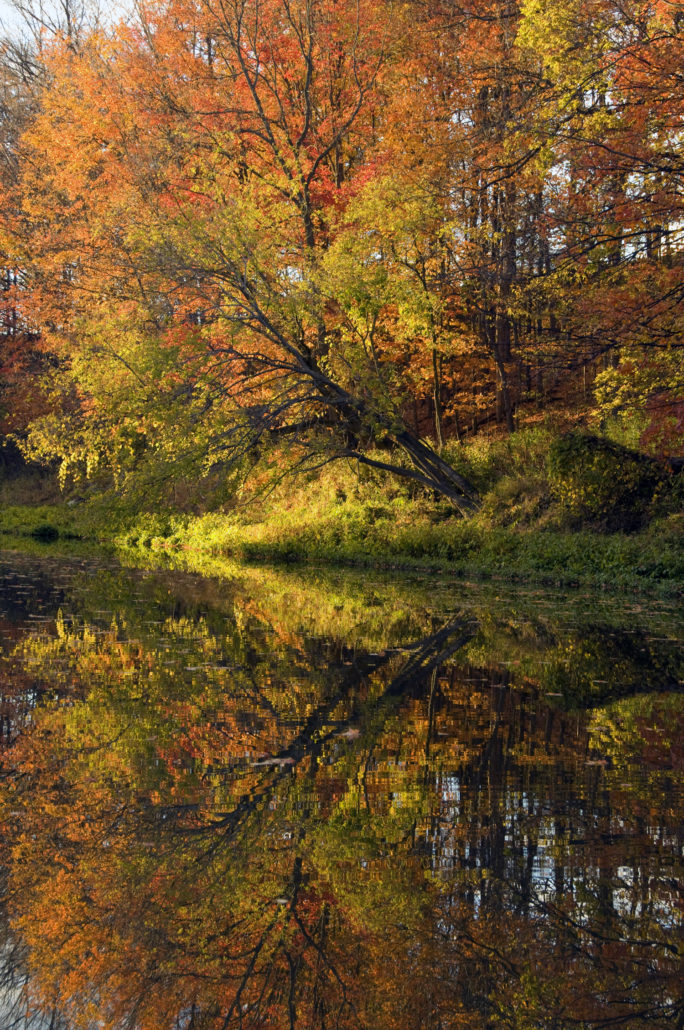
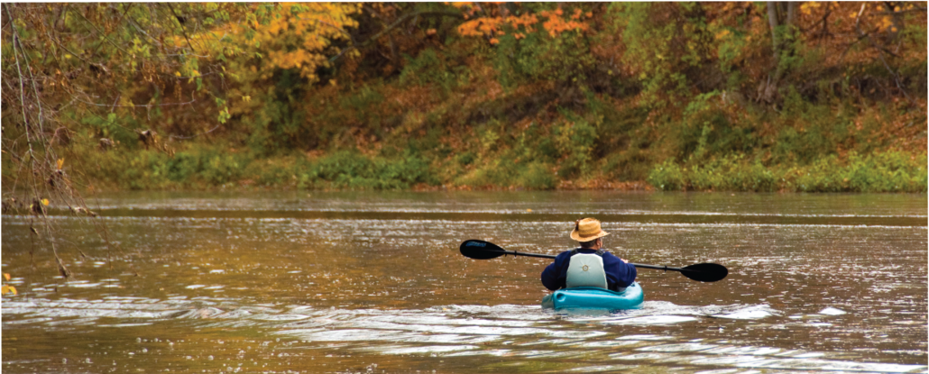
_DSC0359 Fall reflections_1
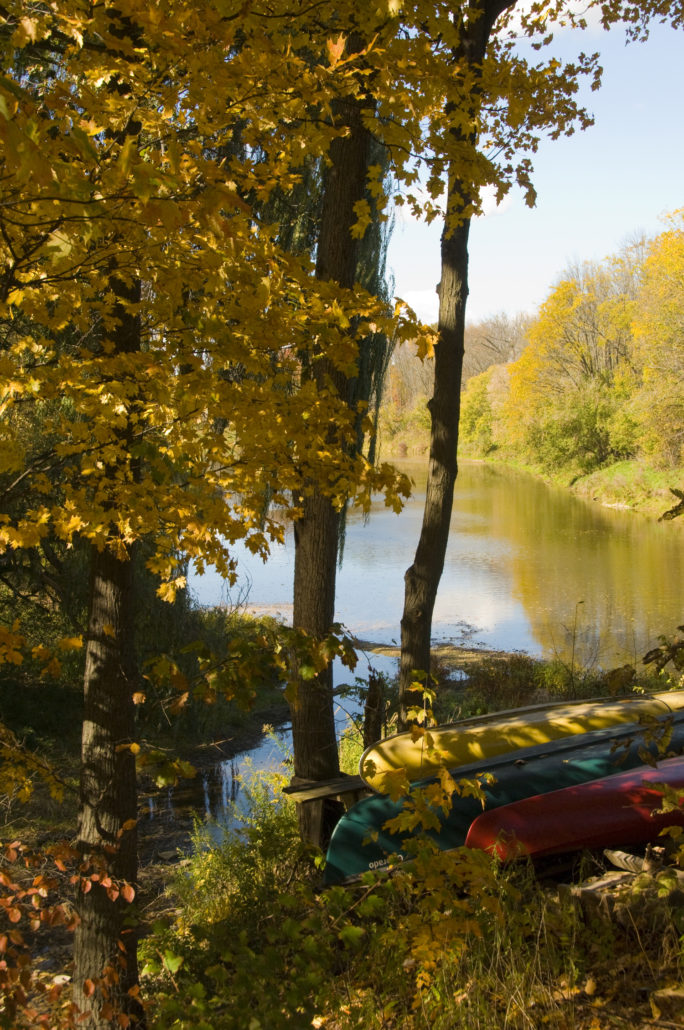
_DSC0324 Beautiful fall shot w canoes
Heritage Park and Downtown 16 - Brian Chapman Photo Credit: Jon Cook
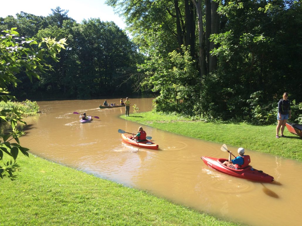
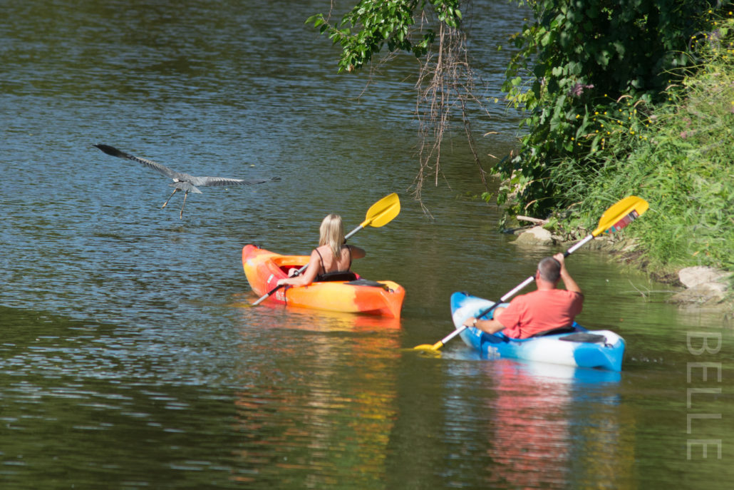
Yakkers chasing Heron summer 2016-2Bob Zeilinger
Digital image Bob Zeilinger
_DSC8109 Beyer to Maple Valerie Bill Z Ken etc Zachary Branigan
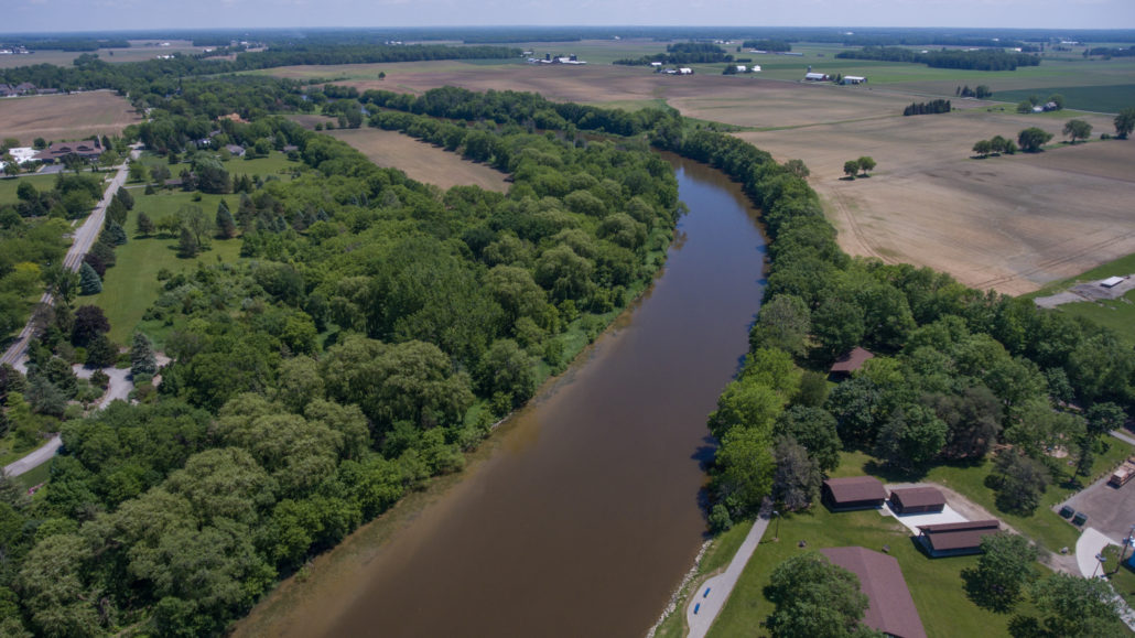
DSC_6474 Cass River in Frankenmuth Zachary Branigan
_DSC0404 Cass River Zachary Branigan

M-46 Bridge to Vassar

Beginner-Intermediate

6.3 Miles, 2 to 3 Hours

Start: M-46 Bridge
Finish: Downtown Vassar

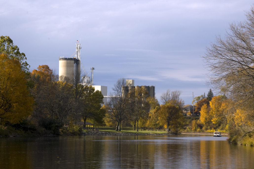
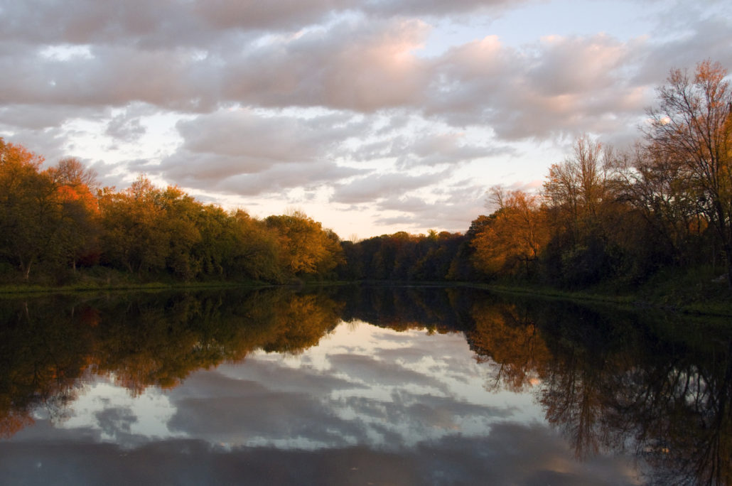
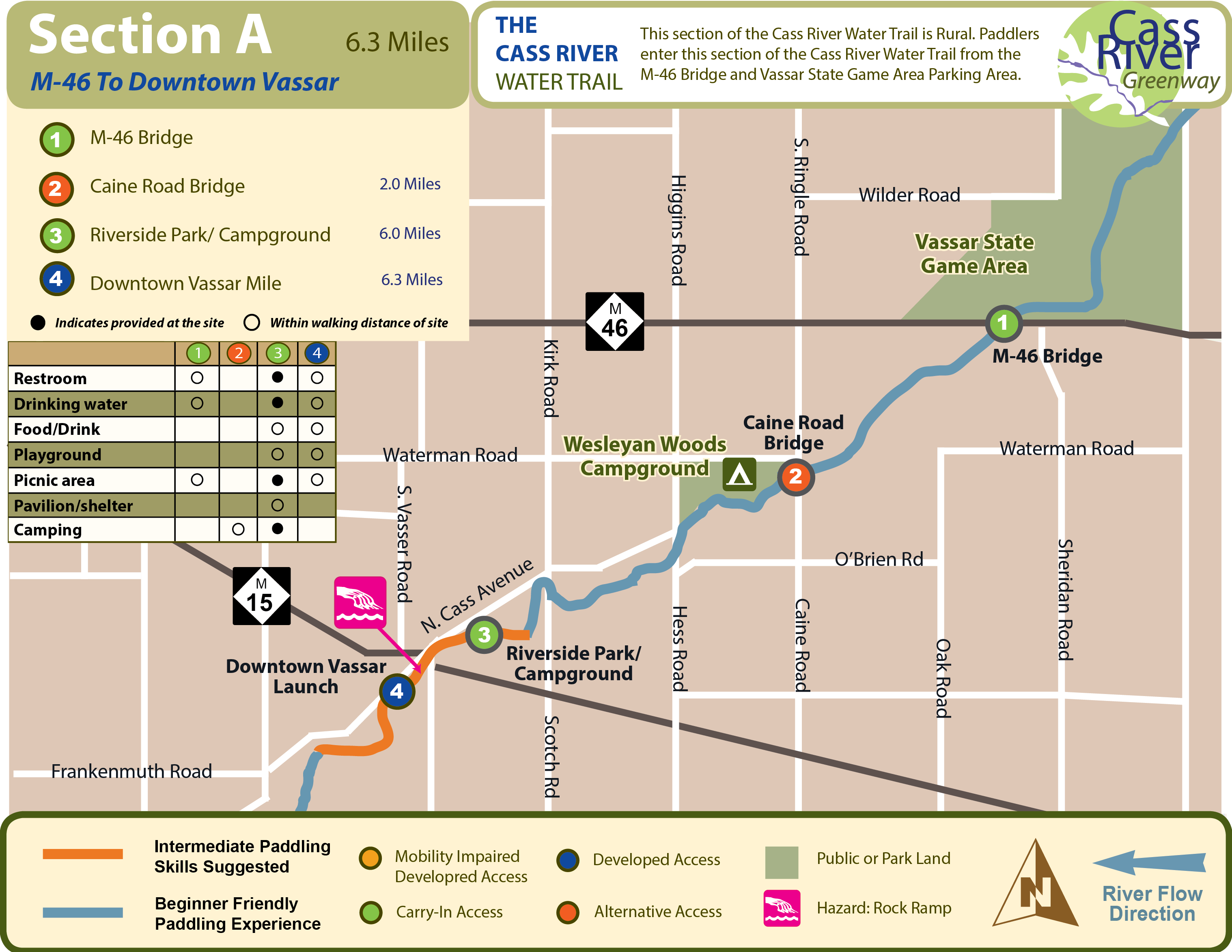
This is a very natural, picturesque paddle that begins on Vassar State Game property and intermittently runs through long stretches of State Game property. The Caine Road access site is 2 miles downstream of M-46 and Downtown Vassar is about 6.3 miles.

This is a scenic experience with heavily wooded riverbanks and rocky sections of river with multiple small rapids and riffles. There are 3 sections of river in this segment that under low water conditions may require exiting the watercraft and walking it downstream to floatable water. Possible wildlife sightings include deer, eagles, blue heron, kingfishers and owls.

Caution is advised as one nears the Huron Avenue (M-15) Bridge in downtown Vassar. A small drop-off may generate a rapids condition under and just downstream of the bridge. Also, most paddlers are advised to take the portage at/around the Downtown Vassar Launch due to rapids conditions at the site of the old, removed Vassar dam.

Wesleyan Woods Campground is located northeast of Vassar, at 4320 Caine Rd., 2.6 miles downstream of M-46. Wesleyan Woods offers both modern (RV) and rustic (tent) camp sites, cabins, restrooms, showers, a camp store, and canoe & kayak trips on the river. Canoe trips usually start just west of Caro and end at the campground. Visit wesleyanwoods.org or call 989-823-8840 for more information.

Download Trail Map
M-46 Bridge AccessCain Road Bridge AccessRiverside Park/ Campground AccessDowntown Vassar Access

Juniata Township

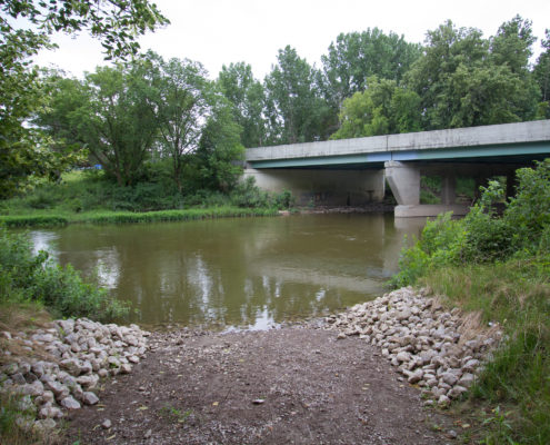
West Side of the Cass River at State Hwy M-46 (Sanilac Rd.), Tuscola County

Type: Rustic trail to geo-mat/gravel launch at water’s edge

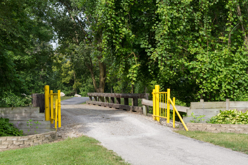
Parking: Gravel parking lot for approximately 10 cars

Parking Address: 3722 Sanilac, Vassar, MI 48768

Facilities: Bathroom, potable water, picnic facilities are available across the river/bridge at the MDOT Roadside Park

*It is a 70-yard walk from the parking lot down a trail through the woods to the launch site

Click Here to Get Directions
M-46 Bridge 18 Brian Champan Photo Credit: Jon Cook

Vassar Township

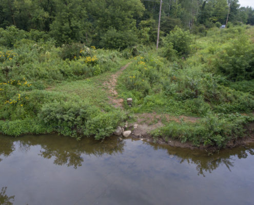
Just south of the intersection of Waterman and Caine Roads, north side of the river

Type: This is a natural, unimproved access site to the Cass River. It is a 300-foot walk along a cleared but ungroomed pathway from the parking lot to the riverbank. There normally is a 2-ft. drop from the end of the pathway end to the water’s edge

Parking: Gravel parking lot for 10+ cars

Parking Address: 4182 Caine Road, Vassar, MI 48768

Facilities: No amenities on site

*Wesleyan Woods Campground is located northeast of Vassar, ½ mile south of this access site, at 4320 Caine Rd., or 0.6 miles downstream on the river. Wesleyan Woods offers both modern (RV) and rustic (tent) camp sites, cabins, restrooms, showers, a camp store, and canoe & kayak trips on the river. Canoe trips usually start just west of Caro and end at the campground. Visit wesleyanwoods.org or call 989-823-8840 for more information.
Click Here to Get Directions
Caine Road Bridge 11 Brian champman Photo Credit: Jon Cook

City of Vassar

N.Cass Ave & Cedar St, approximately 3 blocks north of the intersection of E.Huron Ave (M-15) & N.Cass Ave, north side of river

Type: Natural grass bank to the water’s edge

Parking: On Cedar St (dead end street)

Parking Address: 73 Cedar St, Vassar, MI 48768

Facilities: Camping, portable toliet, drinking water, and picnic area are available at the site. A playground and gazebo shelter is available at adjacent park, on the other side of the railroad tracks. Food, drink and other services are available within a short walk to downtown.

*Recommended Portage: Caution is advised as paddlers travel downstream beginning at the Main Street (M-15) Bridge to the Downtown Vassar launch. Under various water level/flow conditions, one may encounter turbulence and/or rapids conditions in this area. Beginner and intermediate skilled paddlers are encouraged to use the portage just upstream of the Downtown Vassar launch (east side of river).

Click Here to Get Directions
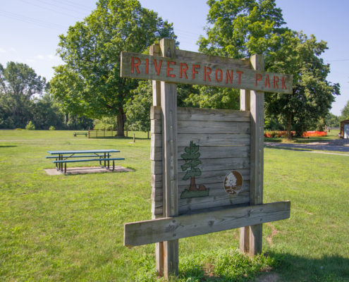
Riverside Park 21 Brian Champman Photo Credit: Jon Cook

City of Vassar

Along S.Water St, near Plumb St, just one block west of M-15 (Goodrich St) on the south/east side of the river

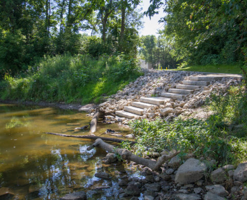
Type: Concrete accessible path with steps at the water’s edge

Parking: Small paved parking lot (no trailers) off Water St

Parking Address: 201 S Water Street, Vassar, MI 48768

Facilities: Restrooms, drinking water, playground, picnic facilities and other amenities are available within a short walk to downtown or across the river at T.North Pavilion.

*Just one block off M-15, this developed launch is perfect for beginners. Boasting several nearby amenities, this site offers paddlers a rural feel with small town services.

Click Here to Get Directions
Downtown Vassar 36 Brian Champman Photo Credit: Jon Cook
Go To Overview Map of Suggested Trips
Scroll to top